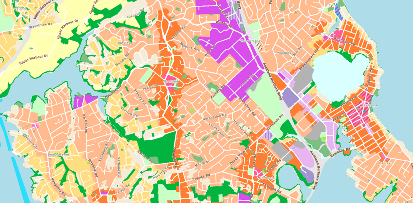
Sydney Circular Quay creates a connected digital twin
ArcGIS and BIM integration delivered a real-time asset information model for future infrastructure planning.
Transpower modernises vegetation management with LiDAR
Transpower uses ArcGIS, imagery, and LiDAR to improve vegetation risk visibility and network resilience.
Powerco quadruples asset renewals with ArcGIS
Powerco combined spatial analytics, field data, and predictive modelling to modernise network renewal planning.
Energy Queensland reduces power line incidents with GIS
A public ArcGIS web map helped reduce accidental power line contacts by 33 percent in one year.
Napa County digitises pest detection workflows
ArcGIS Field Maps helped Napa County improve pest detection, reduce reporting time, and streamline field operations.
Canada detects crop patterns with ArcGIS Online
AAFC used ArcGIS Online to transform agricultural datasets into accessible tools for smarter land-use and crop planning.
Timberlands brings real-time connectivity to remote harvesting operations
Eagle enabled live data, communications, and machine visibility across 190,000 hectares of forest.
Clarus modernises easement inspections with ArcGIS
Eagle helped Clarus digitise aerial inspections with ArcGIS, improving speed, accuracy, and visibility.
NZ Walking Access Commission puts public land access in users’ pockets
Pocket Maps gives hunters, trampers, and anglers offline access to trusted public land maps in the field.
How Tauranga transformed their zoning
Northlands wilderness issues solved
Road management in Queenstowns lake perimeter
“Our new mobile app helps keep people safe when exploring our countryside, providing assurance about where they are in relation to public and private land.”
Strategic Communications Manager,
NZ Walking Access Commission
Stephen Day


