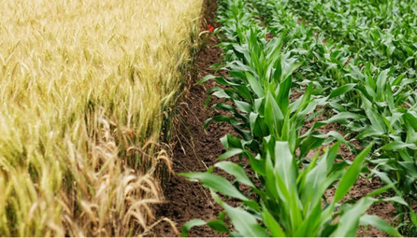
The benefits of GIS for agribusiness
GIS helps agribusinesses improve operational visibility, connect fragmented data, and make faster, more informed decisions at scale.
Gain a complete operational view
Bring land, assets, telemetry, and operational data into one connected system for greater visibility.
Strengthen environmental reporting
Support compliance, catchment reporting, and farm planning with accurate spatial and environmental data.
Improve field and advisory workflows
Enable growers, consultants, and field teams to work from the same trusted, up-to-date information.
Respond faster to biosecurity risks
Monitor threats, coordinate response efforts, and improve visibility across affected locations and operations.
Improve processing site visibility
Use 3D GIS and digital twins to manage facilities, monitor assets, and support operational planning.
Explore what’s possible with GIS
GIS helps agribusinesses improve compliance, monitor productivity, strengthen safety, and connect real-time operational data across farms, facilities, and field teams.
Compliance
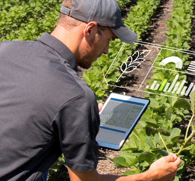
Improve environmental compliance management
Monitor nutrients, track water quality, and support climate and carbon reporting—all in one place.
Visualise environmental risks, monitor land use, and manage reporting from one connected system using accurate, location-based data.
Productivity
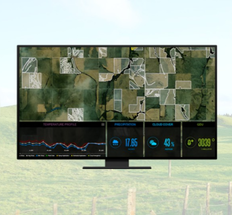
Better understand crop and farm performance
Monitor crop health, yield trends, and daily operations using connected data, mapping, and spatial analysis across your farming operations.
Agribusinesses use ArcGIS to improve operational visibility and support data-driven production decisions more effectively.
Better decisions
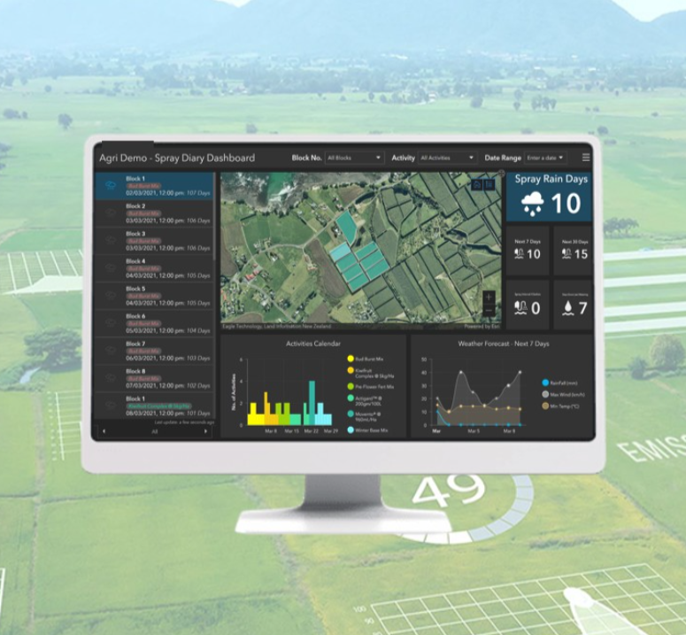
Making better decisions for your organisation
Connecting data, people, and place to support smarter decisions across agriculture, environment, and communities.
ArcGIS can aid and support your organisation in better decision making for your land, people, and the future.
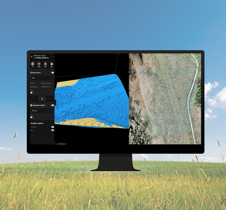
Drone imagery
Monitor your land and assets with drone imagery
Use drone imagery, LiDAR, and 3D data to support crop monitoring, land analysis, infrastructure inspections, and operational planning.
ArcGIS integrates drone and imagery data into a shared operational view for faster analysis and decision-making.
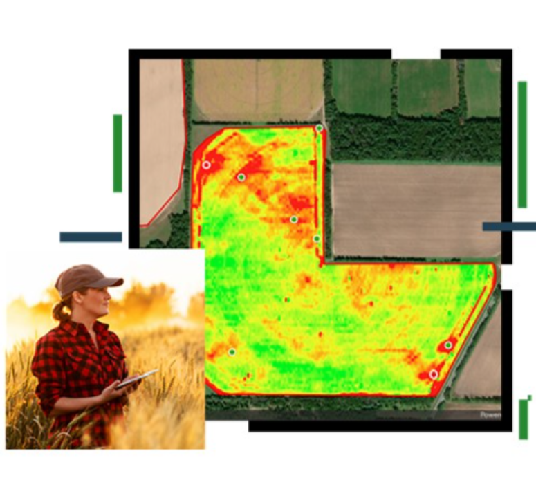
IoT and sensors
Connect real-time weather and sensor data sources
Integrate live telemetry, weather, and IoT data to improve operational awareness, asset visibility, and farm performance monitoring.
ArcGIS brings together sensor and operational data to support smarter, real-time agribusiness decisions.

Conservation & Land Stewardship
Protecting what matters most
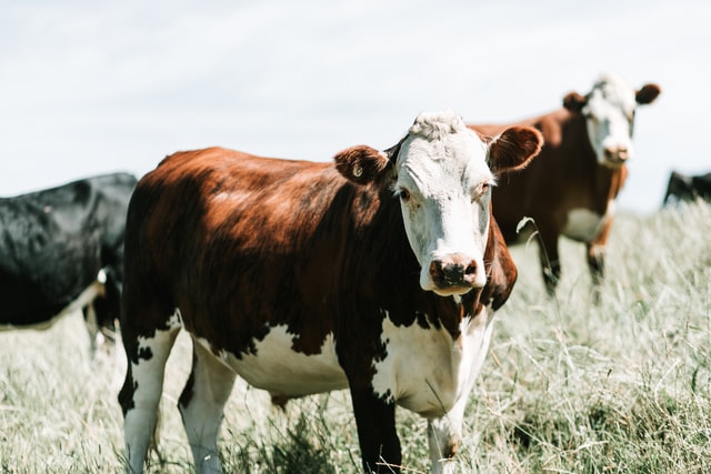
Supporting iwi, conservation groups, and land managers to protect natural and cultural assets, along with planning for a changing climate.
ArcGIS enables non-profit groups with asset management, and undertaking meaningful mapping by understanding, visualising, and acting on location-based data.
Our approach
We combine GIS expertise, technology, and industry knowledge to help organisations make smarter decisions, strengthen operations, and create long-term business value.
A geographic approach to problem solving
Combining spatial thinking with technical GIS expertise helps organisations better connect, manage, and understand their data to support smarter planning and operational decisions.
Training and support that builds capability
Through local training, experienced support, industry events, and knowledge sharing, we help teams build confidence, become more self-sufficient, and stay connected to the wider GIS community.
Strategic partnerships
Eagle designs and implements GIS solutions that align to operational goals, integrate with existing systems, and deliver value as needs evolve over time.