
The benefits of GIS for national government
GIS and AI help agencies connect data, improve policy and programme delivery, and make faster, more informed decisions across government.
Connect data across agencies
Bring people, places, assets, infrastructure, and programme data together to support clearer cross-agency decision-making.
Improve policy and planning
Use spatial analysis, mapping, and analytics to understand patterns, assess impacts, and support evidence-based policy decisions.
Apply AI with confidence
Use GeoAI and trusted analytics to detect patterns, automate analysis, improve data quality, and support responsible government innovation.
Strengthen operational response
Support real-time situational awareness, coordinated response, and better decisions during disruptions, emergencies, and major events.
Explore what’s possible with GIS and AI
GIS supports national government agencies across planning, public engagement, open data, operational response, and cross-agency collaboration by connecting systems, people, and data through location.
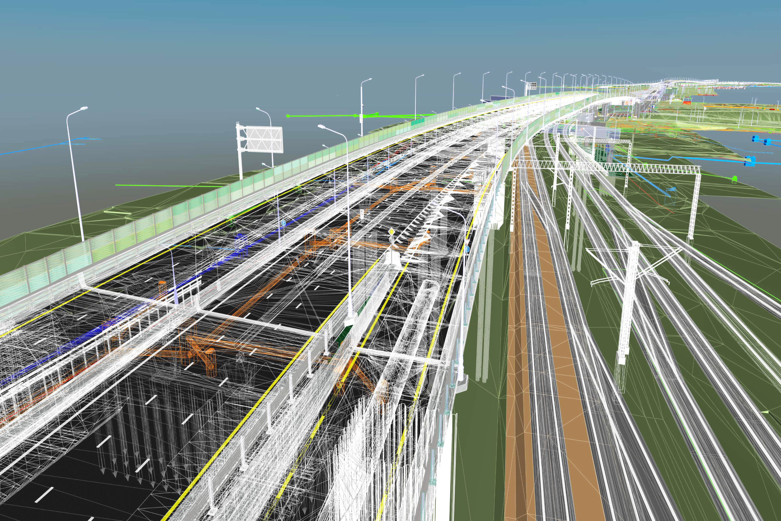
Planning
Support national planning and investment
Use spatial analysis to understand infrastructure, population, environment, transport, and land-use patterns to support better long-term planning.
Agencies can use GIS to assess programme impacts, identify service gaps, and plan investment across regions and communities.

Open Data
Share trusted data with the public
Make authoritative government data easier to access, understand, and use through maps, dashboards, apps, and public-facing data portals.
Open data and public engagement tools help agencies communicate clearly with stakeholders, partners, and communities.
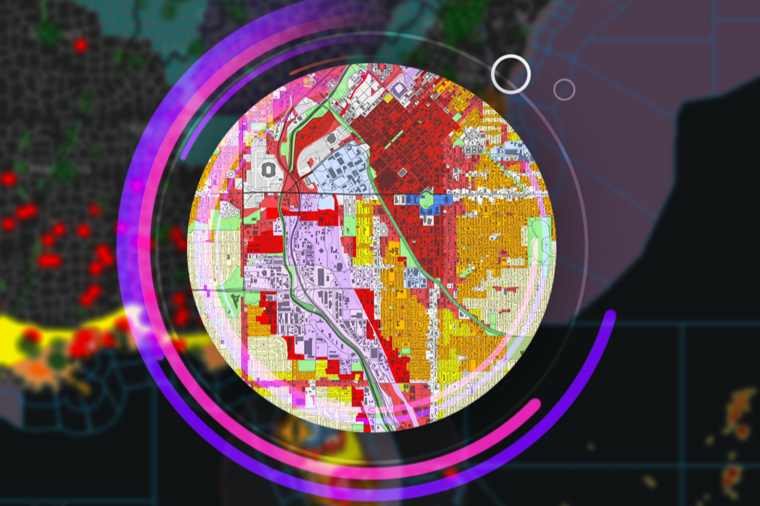
Connected Systems
Connect data across government
Use geography as a common framework to connect systems, departments, assets, programmes, and operational data across agencies.
GIS helps national agencies create a shared view of what is happening, where it is happening, and where action is needed.
Real-world outcomes in national government
See how national agencies use GIS and spatial technology to modernise platforms, connect data, strengthen resilience, and support better operational decisions.