


Pāmu and Esri help solve winter grazing challenges
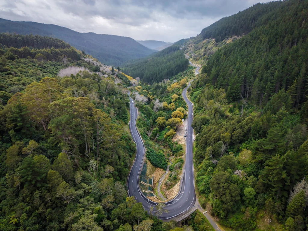
When Southland farmers came under the media spotlight for wintering practices in 2019, Pāmu’s Geospatial Services Manager Bronwyn Rodgers recognised that part of the solution would lie with GIS. “While…
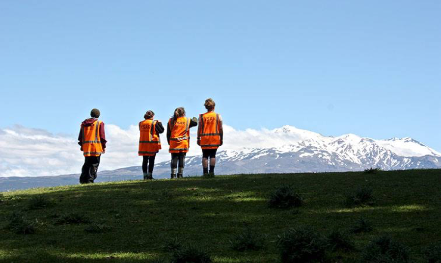
YSAR takes lead in innovation
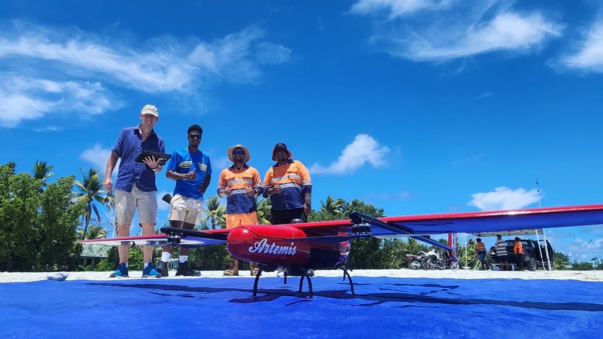
Youth Search and Rescue (YSAR) uses innovative technology in search and rescue and emergency management. “I can’t sufficiently overstate the value of the support Eagle Technology has given to us…
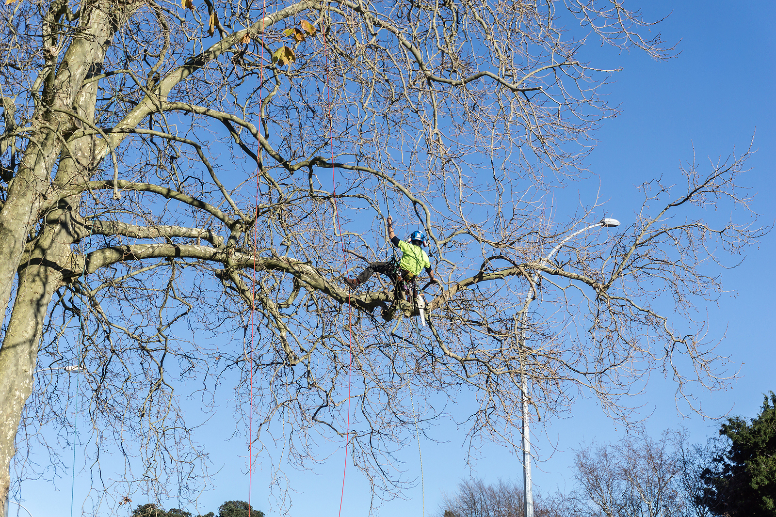
Managing hazardous vegetation during lockdown
When New Zealand entered Alert Level 4 lockdown at short notice in March this year, WEL Networks’ vegetation management team was well-positioned, having already gone digital in January 2020. The…
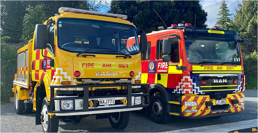
Development of FENZ COP after Cyclone Gabrielle
ArcGIS Enhances Emergency Response at Fire and Emergency New Zealand Background challenges On 12 February 2023, New Zealand was battered by Cyclone Gabrielle, one of the southern hemisphere’s most significant…

NZTA – a Managed Service Solution
“We now have more time to spend on delivering great business outcomes for our customers. Following this project with Eagle, it is now much easier for us to make our…
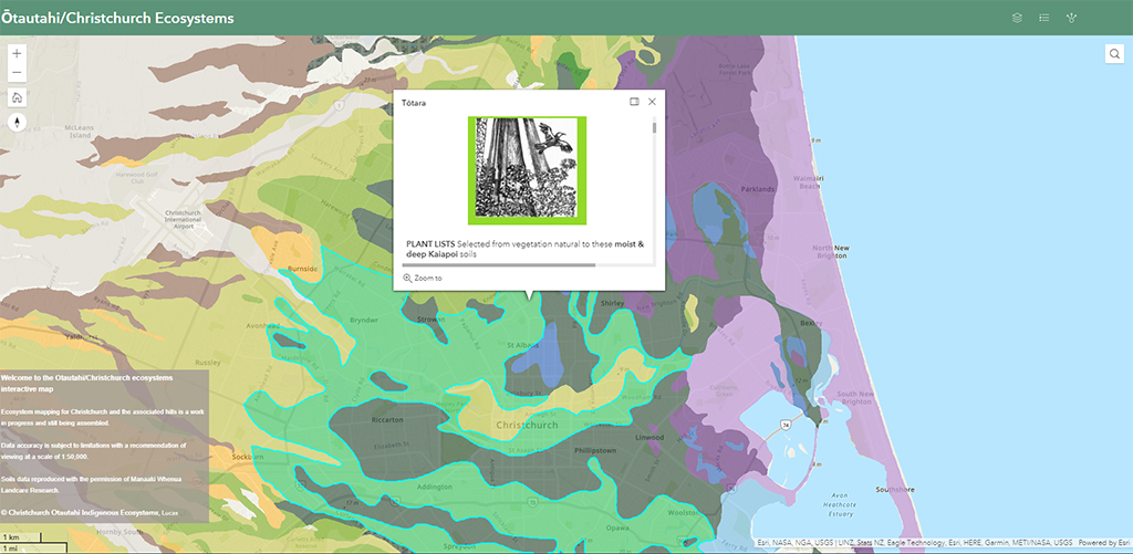
Lucas Associates launches interactive native plant guide
Di Lucas Leona deRidder The development of the digitised Ōtautahi Christchurch indigenous plant guide and ecosystems app represents what has been a 26-year labour of love for Christchurch-based landscape architect…