
Why LocalMaps
Make maps easier for everyone
Give staff, customers and communities a clear, user-friendly way to find and understand location information.
Connect the information people need
Bring together spatial content and approved non-spatial business data.
Turn map data into action
Help people search, query, share and generate reports for assets, planning, fieldwork and operations.
Stay in control
Manage content, branding and access centrally, with flexible deployment and support from local experts.
Powerful tools. Smarter outcomes.
Core capabilities:
- Gallery: A branded place to browse approved maps, apps and information, with content presented according to each user’s access permissions.
- LocalMaps Viewer: An intuitive, mobile-ready map experience built on Esri’s ArcGIS Maps SDK for JavaScript. Custom widgets and modules help users search, view, query, share and work with spatial information more efficiently.
- Data integration: Connect to and query approved business data from sources such as SQL Server, PostgreSQL and MySQL, alongside your ArcGIS content.
- Spatial reporting: Configure, and generate detailed, multi-page reports from map and property information in seconds.
Easy, secure deployment:
- Secure and governed: Manage branding, content and permissions in line with your organisation’s governance requirements. Every major release is tested by an external security firm, so you can deploy with greater confidence.
- Easy to configure: Set up LocalMaps to suit your organisation, including for teams without specialist GIS skills.
- Works across audiences and devices: Provide modern, user-friendly, mobile-ready map experiences for internal teams, partners and the public.
- Flexible deployment: Use LocalMaps for secure internal portals, public-facing information hubs, or both.
- Local support and community: Get support from Eagle Technology’s local team and connect with an active LocalMaps user community.
LocalMaps reduces the complexity of making location information useful putting clear, relevant map experiences in the hands of the people who need them.
Deploy LocalMaps your way



Coming Soon
See how LocalMaps helps organisations across New Zealand
Engage and Inform Your Community
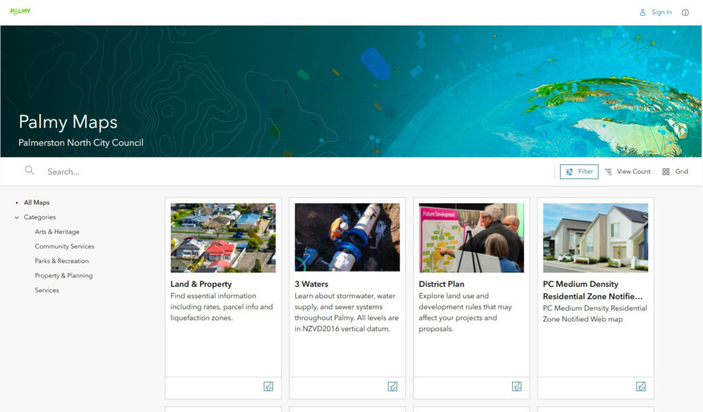
PNCC uses a LocalMaps Gallery to bring district plans, property information, three-waters content, parks and community services together in one easy-to-browse public map hub.
Empower with Property Information Reports
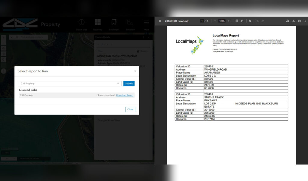
Residents can search for a property and generate a report with the relevant details, reducing the effort required to find and interpret property information.
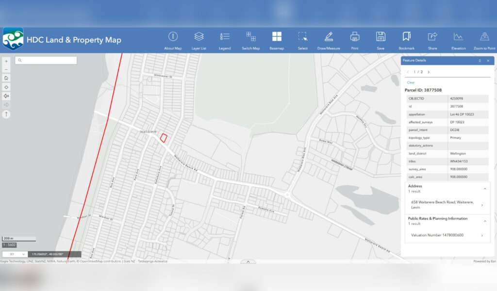
Show relevant information through Integration
Horowhenua District Council has integrated multiple databases with LocalMaps to provide ratepayers with easy access to relevant and up-to-date information and improving accessibility.
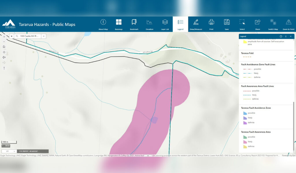
Enhance Resilience & Emergency Preparedness
Interactive public maps help residents find hazard areas, emergency information and evacuation guidance when they need it.
Resources
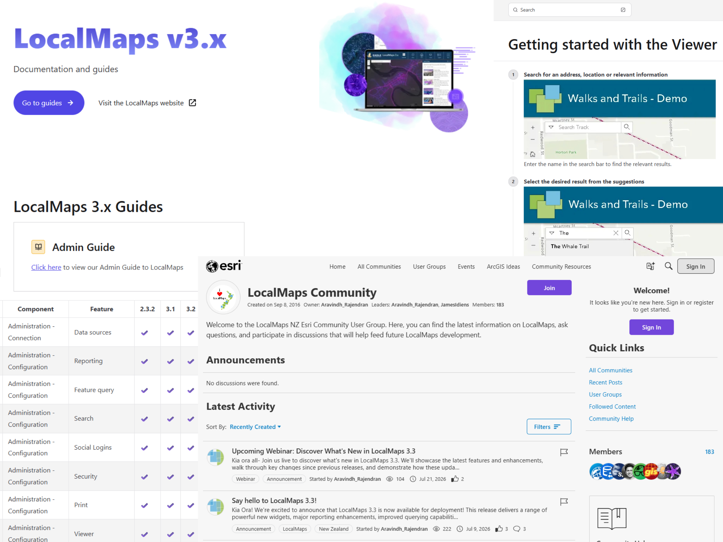
Our Resource Centre provides access to key features, technical requirements, user guides, admin documentation, and more—your one‑stop hub for learning and empowering your LocalMaps ecosystem.
Community Forum
Join the LocalMaps Community Forum for the latest updates, feature previews, and peer-to-peer knowledge sharing.
FAQ:
Who is LocalMaps for?
LocalMaps is designed for organisations that use ArcGIS Enterprise or ArcGIS Online, and want to make map-based information easier for staff, stakeholders or the public to access.
Can we use LocalMaps for public and internal maps?
Yes. LocalMaps can support public-facing hubs, secure internal portals and role-based access to content.
Can LocalMaps connect to our existing data?
LocalMaps works with ArcGIS content and can integrate approved data from sources such as SQL Server and MySQL.
Do users need GIS expertise?
No. LocalMaps is designed to make everyday map and information tasks easier for non-specialist users, while giving GIS teams control over the underlying content and configuration.
What support is available?
Eagle Technology provides local support, documentation and access to the LocalMaps community.
We release targeted patches to address customer issues and emerging needs. Patches can be applied independently by yourself, without requiring a full LocalMaps upgrade.
What are the technical requirements?
LocalMaps can be deployed in a latest supported Windows Server, connected to your ArcGIS Enterprise or ArcGIS Online. Technical requirements for the application can be found here.
Planning a Linux, Kubernetes or containerised deployment? Get in touch to discuss your environment and deployment requirements.
Can LocalMaps integrate with business systems?
Yes. LocalMaps can be integrated with business systems to bring relevant information into a single map experience. We are developing integrations with commonly used local-government systems, including Infor Pathway and Civica. For other systems, tailored integrations can be developed through a bespoke project. Contact us to discuss your requirements.