Digital twin technology is transforming how New Zealand’s councils plan,
manage, and maintain critical infrastructure using real-time 3D replicas.
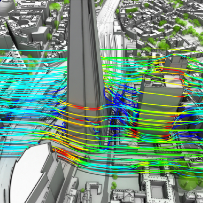
How Auckland Council Uses Digital Twins for Infrastructure Planning
Digital twin technology is transforming how New Zealand’s councils plan,
manage, and maintain critical infrastructure using real-time 3D replicas.

Explore the latest capabilities in ArcGIS Pro 3 and how they benefit New Zealand mapping and spatial analysis…

How emergency services across New Zealand are leveraging spatial technology for faster, more coordinated…

A step-by-step introduction to ArcGIS Online for new
users, covering maps, data layers, and sharing workflows.