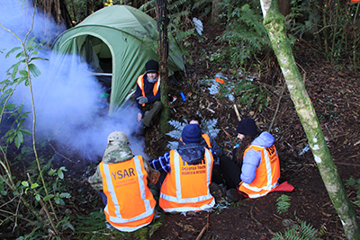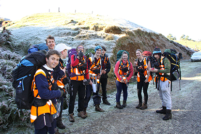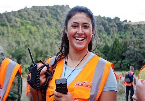
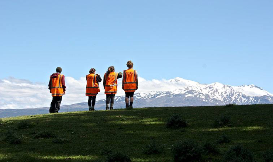
Youth Search and Rescue (YSAR) uses innovative technology in search and rescue and emergency management.
“I can’t sufficiently overstate the value of the support Eagle Technology has given to us over the years. I hope it’s a mutually beneficial arrangement. We’re testing the equipment in new situations and providing valuable feedback.’”
Steve Campbell, YSAR
Abstract: To keep its young people safe when training in diverse outdoor environments at night, Bay of Plenty’s YSAR (Youth Search and Rescue) needed an ‘out-of-the-box’ live tracking system that was totally reliable and functional when students were off the telecommunications grid. In the areas in which they operated for search and rescue there was often no cellular network coverage. YSAR needed to be able to conduct rescue operations with more effective communication. The system also needed to be easy to operate by non-technicians.
The Challenge:
- To keep students safe when undertaking a search and rescue programme in outdoor environments.
- To increase the speed and accuracy of search and rescue.
- To save lives and rescue people who are injured and lost faster and more effectively.
The Solution:
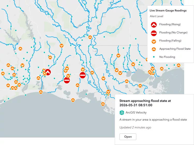
The ArcGIS platform enables pre-planning, populating maps with information collected and recorded from the field. This includes hazards, decision points, huts, hunter trails, etc. Conducting spatial analysis includes cross-country movement showing how far someone can travel in specific timeframes. The Sitaware Command and Control software enables secure live tracking of students in the field to increase safety. It also allows secure communication between the controllers at base/HQ and those in the field, enabling the ability to send/receive/update written instructions, map plans, images, text messages, and voice instructions. This increases safety, speed and accuracy in rescue situations.