Take your GIS anywhere
Transform how you plan, execute, and evaluate field operations by connecting the field and office through the power of geographic information system (GIS) technology. Replace paper-based work and siloed workflows with intuitive mobile apps that allow you to collect high-accuracy data in near real time. Maintain alignment using shared, authoritative location data. From dispatch to data capture to reporting, ArcGIS empowers smarter decisions, greater efficiency, and operational excellence in every phase of field operations.
Smarter field operations starts here
Discover how ArcGIS transforms disparate field activities and processes into a unified, digital workflow.
Empower field teams
Combine mapping, data collection, and task management using intuitive apps that adapt to your unique workflows.
Save time and cut costs
Get teams to the right location and asset every time with the reference data they need, immediately available digitally, even in disconnected environments.
Stay connected
Gain situational awareness between field and office, empowering your team to monitor field operations and adapt quickly to changing dynamics.
Work with reliable data
Leverage authoritative data in real time—field teams capture and share updates from the ground, while office teams use those insights to guide strategy and make timely decisions.
Modernise field operations
Gain the advantages of lightweight digital tools that empower your mobile workforce to work smarter, safer, and more productively.
Unify your field activities
ArcGIS can be deployed as a software as a service (SaaS) solution or behind your firewall.
Plan
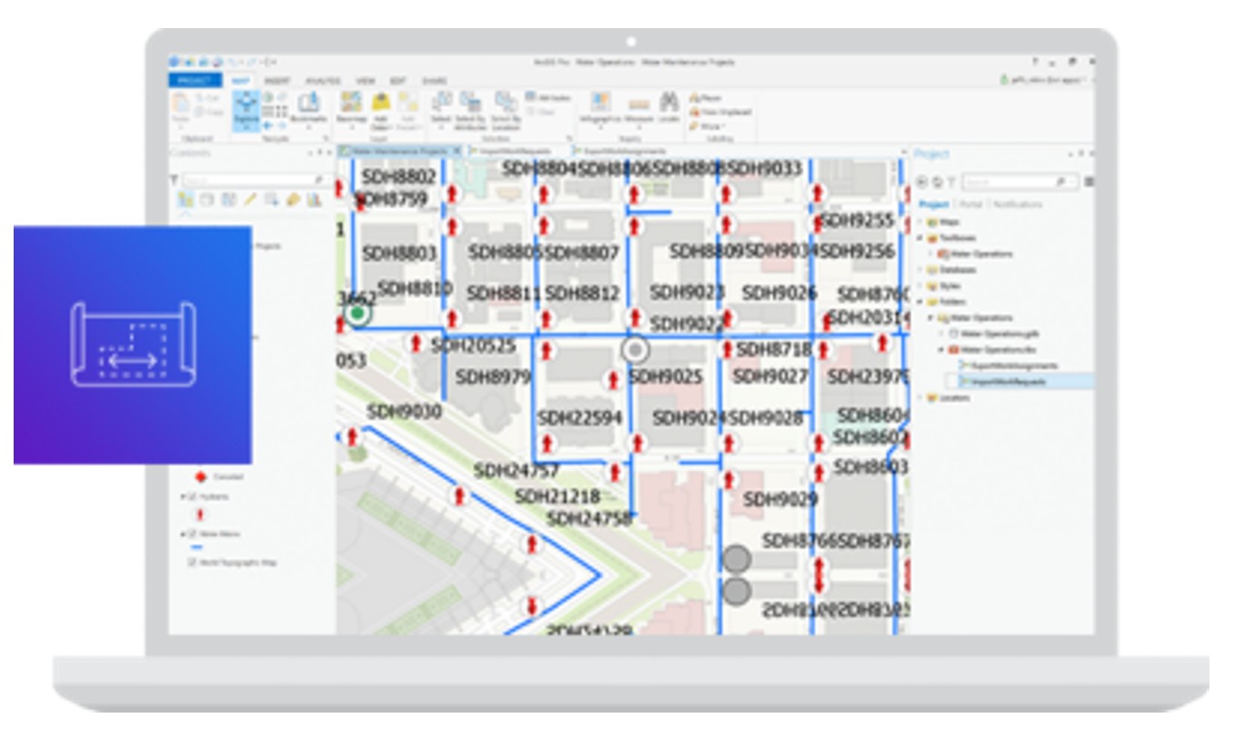
Get the office and the field working in unison. Leverage the power of location to understand where work needs to be done and effectively coordinate and dispatch resources. Your existing authoritative data is the backbone on which field activity planning is done.
Navigate
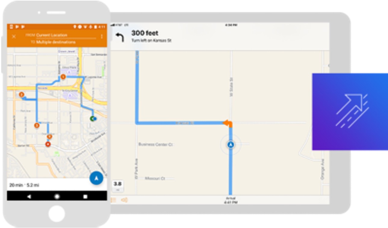
Your data, your roads—even while offline. Consistently meet deadlines by using the most efficient routes so you can arrive on time and get the job done. Drivers keep their eyes on the road by using voice-guided routing that even considers the type of vehicle being driven and road restrictions along the route.
Understand
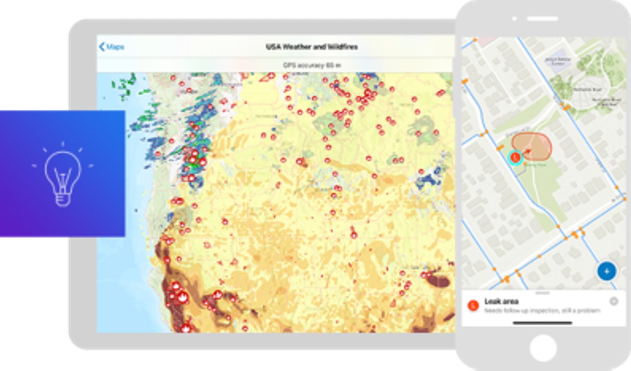
Take your organisation’s digital maps with you, anywhere and anytime. Use a current map to find assets and areas of interest or to see what is in the surrounding area. Promote your spatial awareness and understanding when performing inspections, responding to natural disasters, or engaging in other activities that benefit from spatial context.
Capture
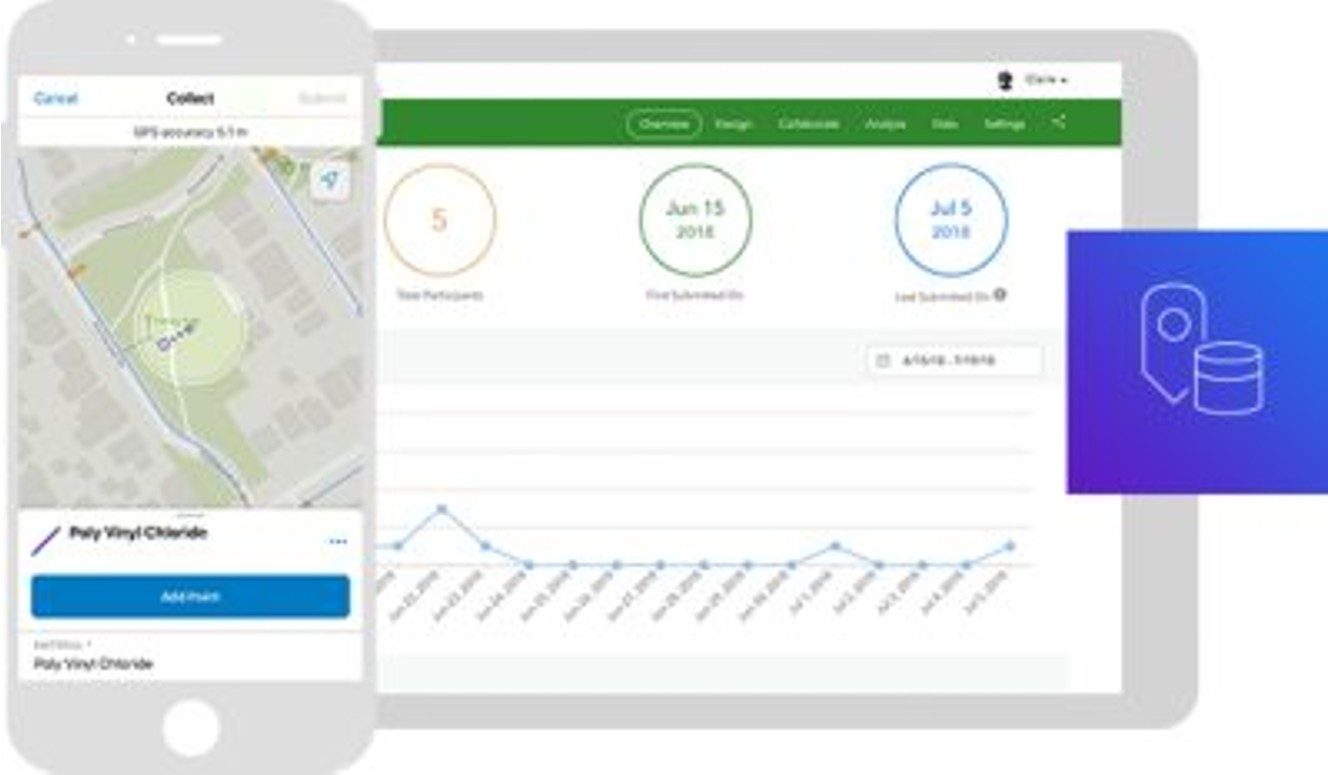
Replace outdated paper-based workflows. Enable mobile workers of all technical levels to easily perform accurate data collection and asset inspections in any environment. Field-captured data immediately feeds into your system of record, streamlining life cycle management and supporting better decision-making.
Monitor
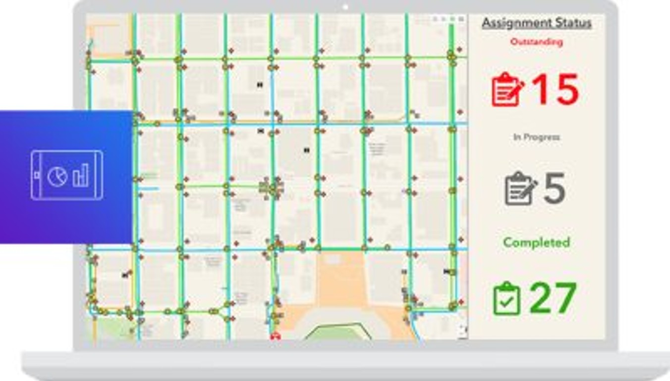
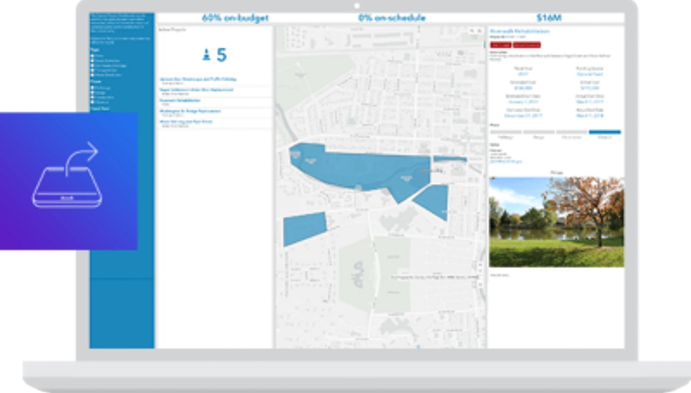
Make decisions at a glance. Easy-to-understand dashboards and maps support informed decision-making. Communicate the status of field operations to managers by monitoring, tracking, and reporting real-time data feeds, location tracks, and activities that focus on what matters most. Present maps and dashboards to apprise constituents of activities and events that impact them.
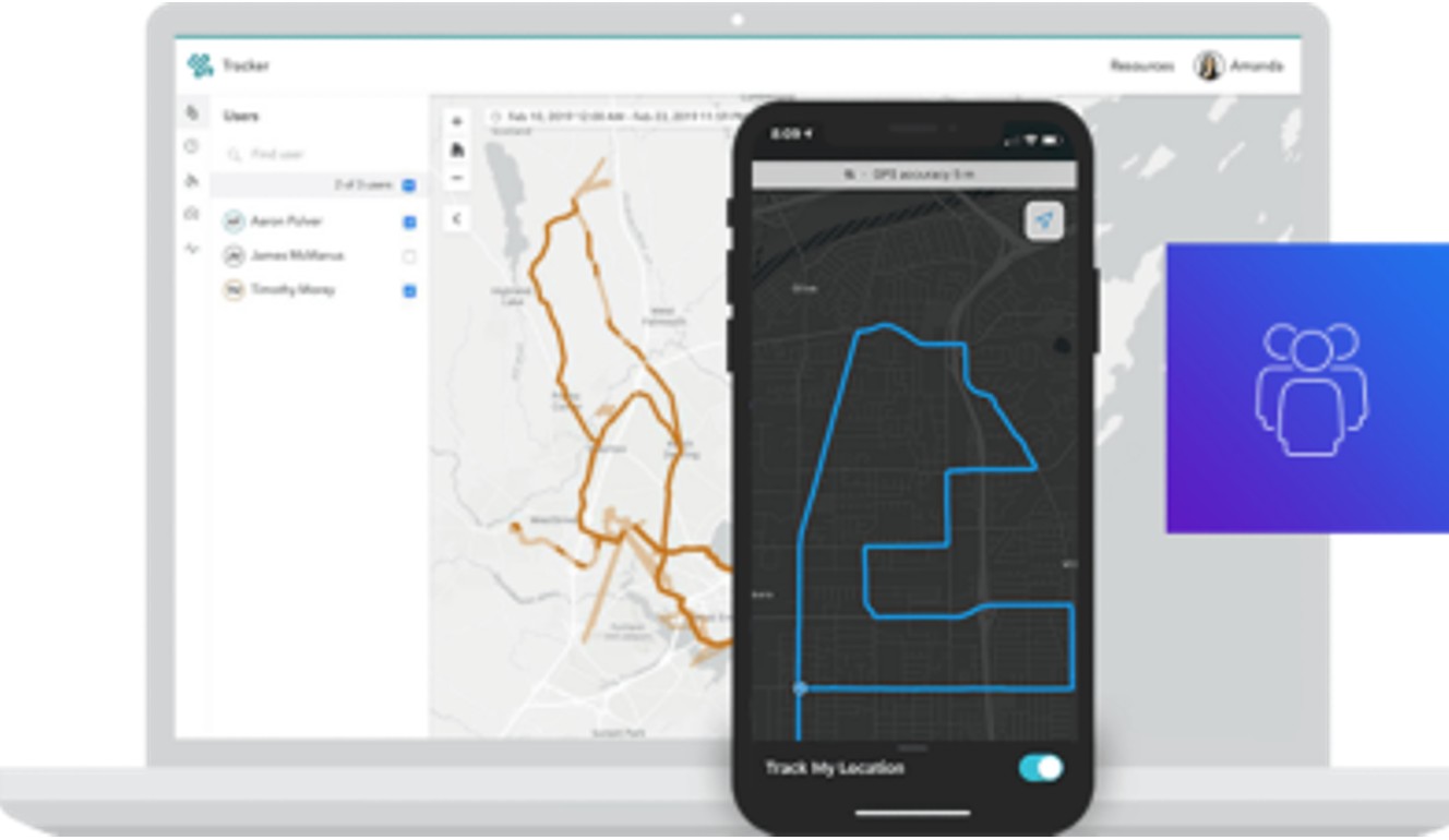
Location sharing
Know what happens in the field. Enable those in the field to share their location tracks so you can know where everyone is and where they have been. Location sharing is a capability of ArcGIS that is available in multiple solutions.
Share
Sharing information can be critical to the success of a project. Whether collaborating as a single team or with multiple organisations, the ability to scale to the specific needs of your situation is easily accomplished within a single system. Easily control data access for internal and external stakeholders, so everyone has only the information they need.
Real-world outcomes across New Zealand
See how other organisations are utilising field operational apps to improve their operations in the field and back in the office.