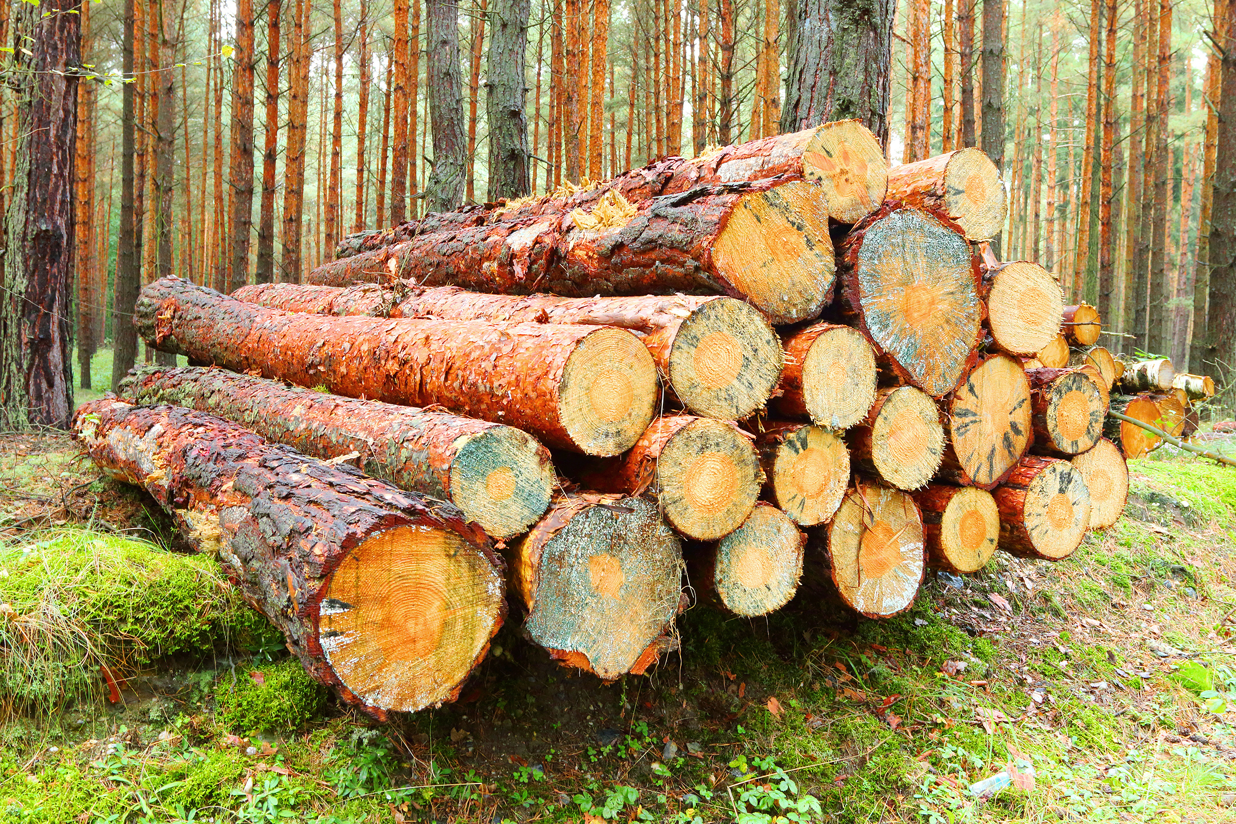
The benefits of GIS for forestry
GIS helps forestry organisations connect field, imagery, asset, and operational data to improve planning, safety, sustainability, and efficiency.
Improve operational visibility
Bring field, machine, imagery, and sensor data into shared maps and dashboards to improve visibility across forestry operations.
Plan harvesting with confidence
Use spatial data to support harvest planning, roading, terrain analysis, environmental constraints, and operational risk management.
Automate forestry workflows
Streamline data capture, analysis, reporting, and decision-making across field teams, contractors, and office-based operations.
Strengthen environmental data
Monitor forest health, biodiversity, waterways, and sensitive habitats using imagery, LiDAR, remote sensing, and field data.
Explore what’s possible with GIS
GIS helps agribusinesses improve compliance, monitor productivity, strengthen safety, and connect real-time operational data across farms, facilities, and field teams.
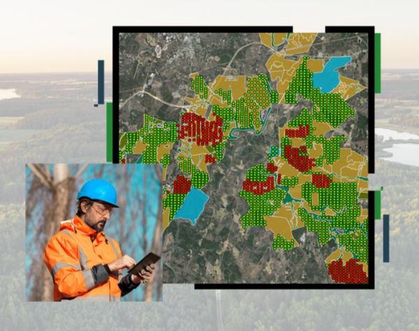
Forestry operations
Plan and monitor forestry work in one view
Use interactive GIS experiences to bring together forest compartments, operational data, imagery, and planning layers in one accessible view for teams.
The forestry resource from Esri shows how web-based GIS experiences can support clearer planning, monitoring, operational coordination, and more informed decision-making.
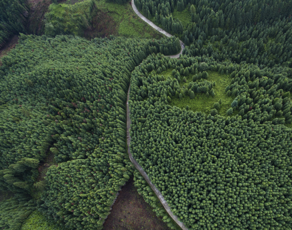
Drone imagery
Capture forest intelligence from above
Use drones to capture high-resolution imagery, video, terrain models, and 3D products that support monitoring, site assessment, and operational planning.
Drone imagery can capture detailed forest conditions, create orthomosaics, terrain models, point clouds, and 3D meshes for more precise analysis and resource management activities.
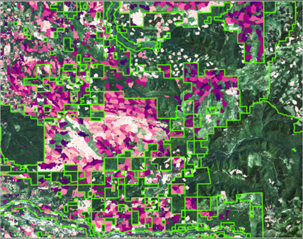
AI
Utilise geospatial-AI
Harness geospatial AI to enhance forest intelligence through automated analysis of imagery, terrain, and spatial data, enabling faster, accurate monitoring, planning, and management.
By combining machine learning with geospatial data, forestry teams can map forest attributes, assess forest health, and generate predictive models.
Real-world outcomes across agriculture
See how organisations are using GIS and spatial technology to improve productivity, strengthen reporting, and support smarter agricultural decision-making.
Our approach
We combine GIS expertise, technology, and industry knowledge to help organisations make smarter decisions, strengthen operations, and create long-term business value.
A geographic approach to problem solving
Combining spatial thinking with technical GIS expertise helps organisations better connect, manage, and understand their data to support smarter planning and operational decisions.
Training and support that builds capability
Through local training, experienced support, industry events, and knowledge sharing, we help teams build confidence, become more self-sufficient, and stay connected to the wider GIS community.
Strategic partnerships
Eagle designs and implements GIS solutions that align to operational goals, integrate with existing systems, and deliver value as needs evolve over time.