I have worked with Ngā Hau e Whā o Paparārangi (NHEWOP) for almost three years as a volunteer, sharing GIS skills and providing training and advice.
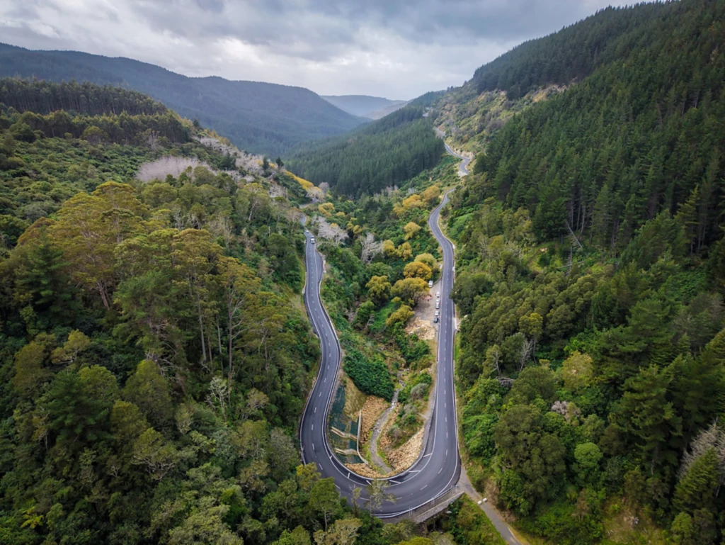
NHEWOP is a 20-year planting project at a suburban marae in Wellington. The overall objective is to restore the local ngahere/native bush to its original glory around Nga Hau e Wha o Papararangi/the breeding place of kiwi, which is in Horokiwi, a semi-rural area close to the suburb of Newlands.
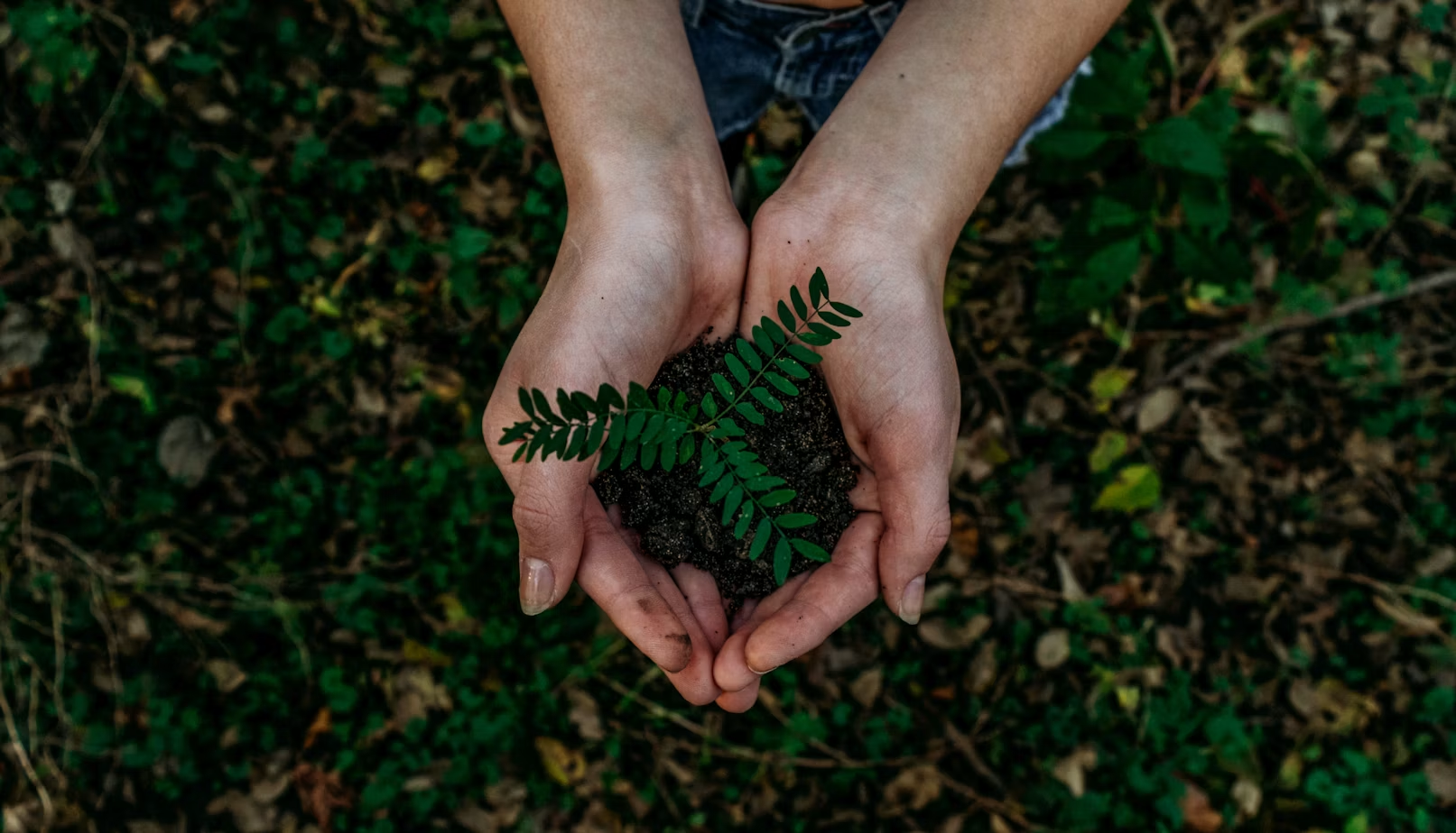
This includes planting trees and plants for raranga/weaving, rongoa/medicine, and maara kai/cooking purposes with an overall objective of returning birds and other wildlife back into the area.
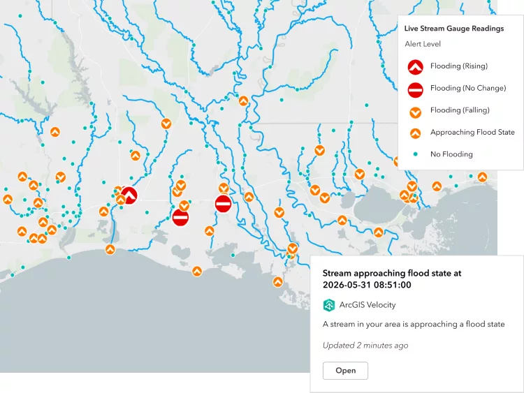
GIS technology was identified as being crucial to the success of the project because it will aid decision-making and planning efforts by identifying sites for future planting and other activities, such as pest and weed control.
I am helping NHEWOP to achieve their goals by mapping, visualising, and analysing the landscape. I have also mentored NHEWOP volunteers Aaria Dobson-Waitere, Scott Bailey, Joe McLoed, and Harry Meinders by providing training in GIS with the aim of making them self-sufficient in mapping and using GIS tools.
This will help them manage and plan conservation activities on the site and protect the land for future generations to come.
Scott was the winner of last year’s New Zealand GIS scholarship and went to the USA for training and to attend two GIS conferences.