What is ArcGIS?
ArcGIS is a comprehensive geospatial platform for professionals and organisations. It is the leading geographic information system (GIS) technology.
Built by Esri, ArcGIS integrates and connects data through the context of geography. It provides world-leading capabilities for creating, managing, analysing, mapping, and sharing all types of data.
Organisations that use ArcGIS to understand and analyse their data in geographic context have a distinct advantage and decision-making edge.
What ArcGIS can do

Urban planning and development
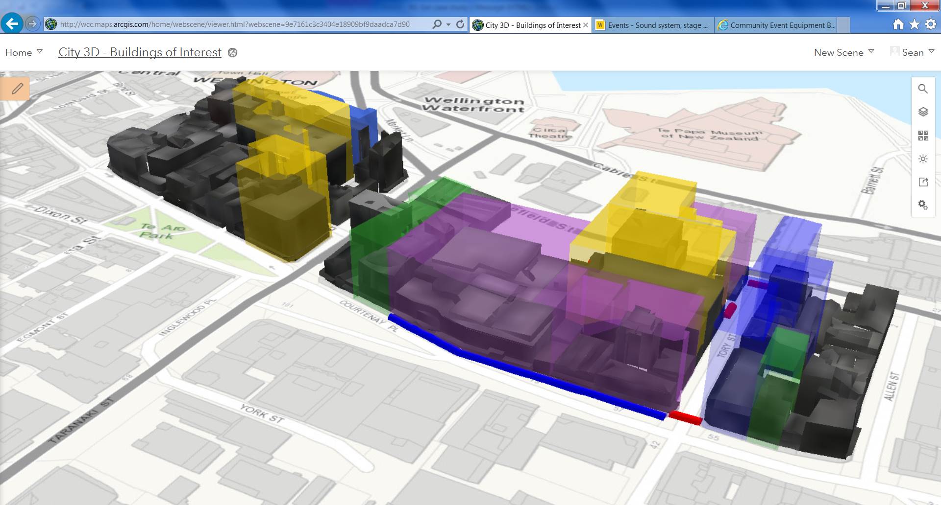
Create context-rich digital twins that integrate geography with BIM and 3D data.
Asset and network management
Know the real-time location and condition of moving and stationary assets.

Policy and transparency
Allocate resources where they are needed most and communicate decisions in a powerful visual format.
Land use and property management
Streamline land management with an authoritative geographic database, capabilities, and tools.

Natural resource management
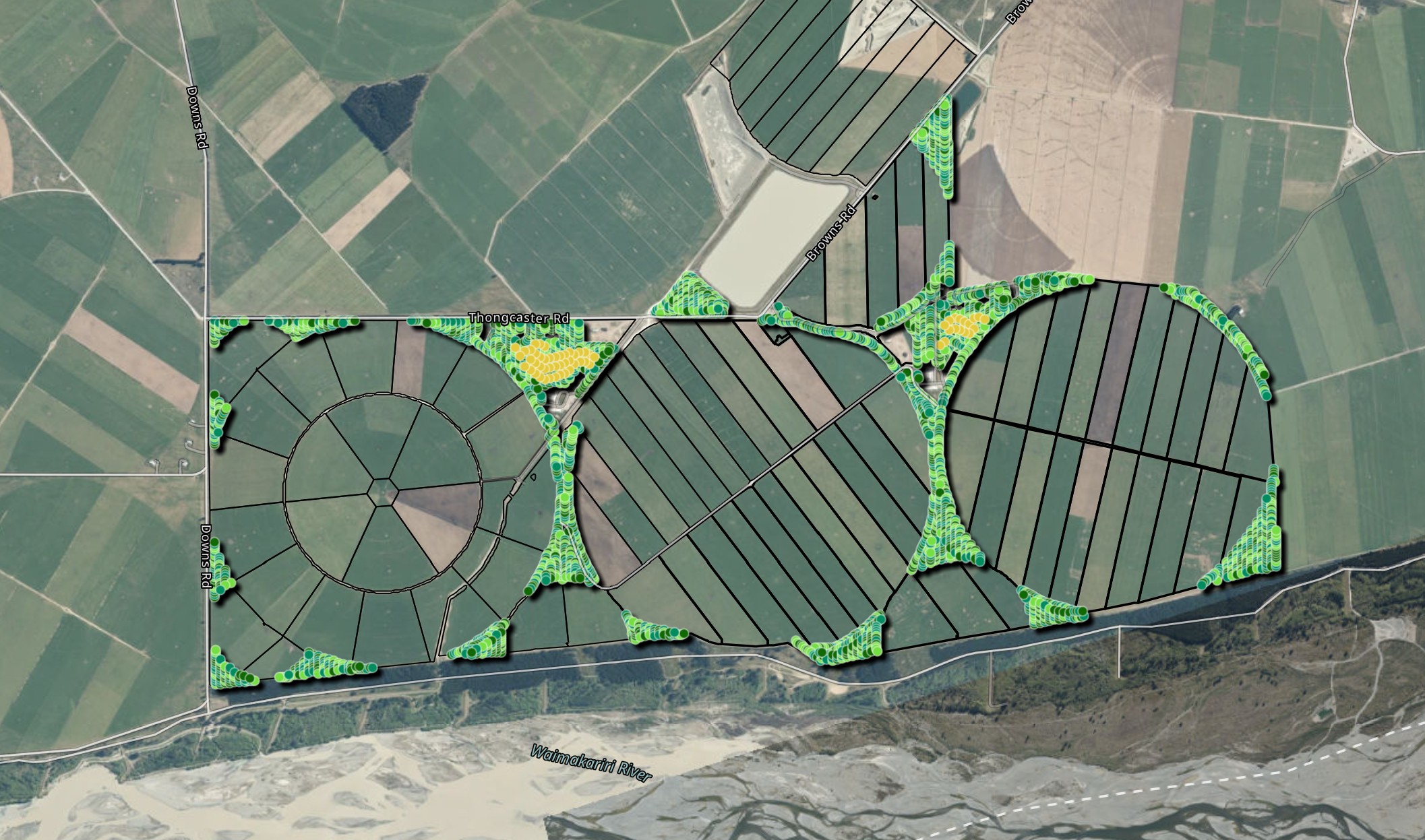
Leverage maps, imagery, and remote sensing to manage resources sustainably and equitably.

Transportation and logistics
Plan efficient routes and manage complex fleet logistics with shared maps and dashboards.
Market analysis and site selection
Choose the smartest locations for stores, facilities, and market expansion with place-based data and spatial analysis.
Supply chain optimization
Power end-to-end supply chain visibility and planning with real-time maps.

Public safety and security
Enhance situational awareness with precise real-time location data.

Conservation and monitoring
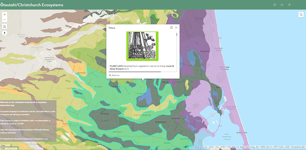
Analyse environments and ecosystems holistically to create data-driven, area-specific conservation plans.
Risk analytics and mitigation
Map assets to pinpoint risk and prioritise mitigation strategies for maximum benefit.
A dynamic set of geospatial capabilities
Mapping, analytics, and data management are central to ArcGIS. Additional capabilities enable specific workflows, amplifying and scaling impact. Capabilities combine within ArcGIS to form a comprehensive geospatial platform, helping users understand and solve complex problems
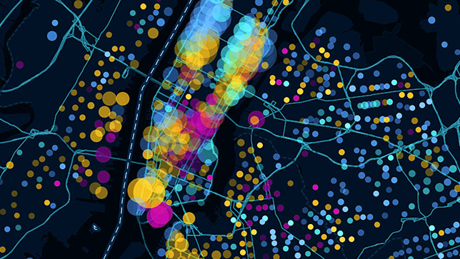
Mapping
Understand data in a new way by mapping and visualising it in 2D, 3D, and real time. Leverage location services and advanced cartographic tools.
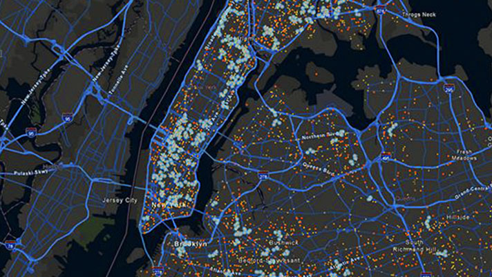
Spatial analytics
Perform spatial modeling and analysis with data from any source, enriched by geography. AI-infused workflows power advanced analytics.
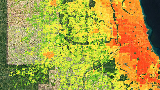
Field operations
Empower teams to work in disconnected environments. Streamline field data collection and workforce planning, routing, and management.
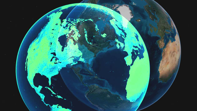
Data management
Implement a reliable system of record for data editing, offline data management, and secure data sharing across your organization.
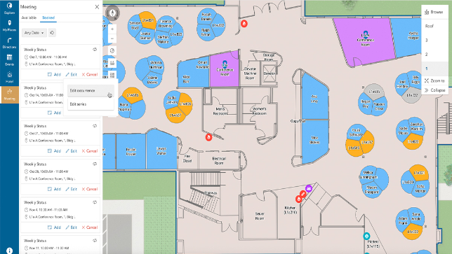
Indoor GIS
Map indoor environments in 2D and 3D for indoor-outdoor navigation wayfinding, incident reporting, asset tracking, and space management.
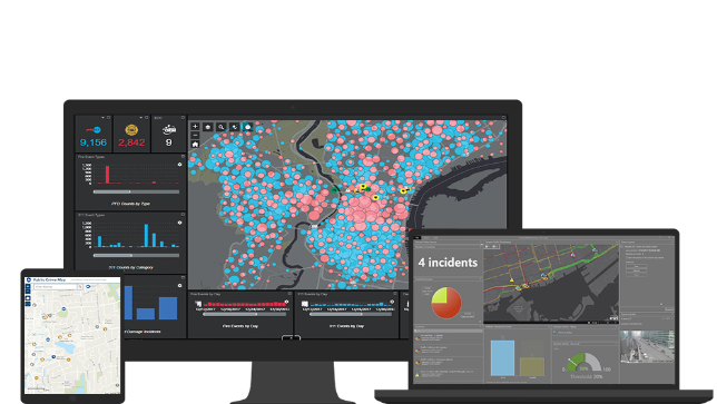
Real-time
Analyse real-time data from live feeds, IoT, and social media to monitor logistics, weather, and operations, keeping data and maps current.
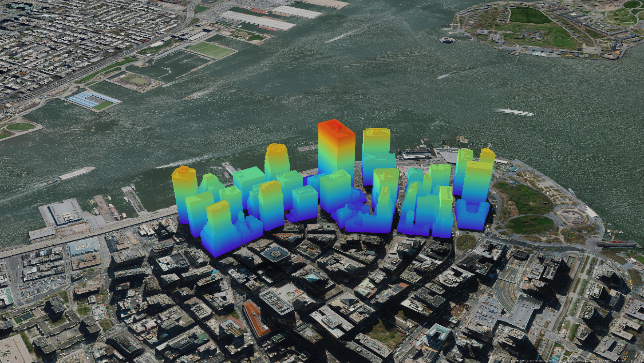
3D GIS
Address real-world challenges virtually by creating 3D digital twins and combining data sources for a detailed and immersive experience
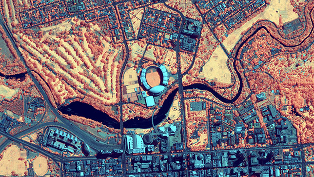
Imagery & remote sensing
ArcGIS Leverages end-to-end systems for imagery collection, management, and processing, enhanced by intelligent AI workflows.
See how organisations use ArcGIS
See how organisations are using GIS and spatial technology to improve productivity, strengthen reporting, and support smarter organisational decision-making.