Accelerating your desktop GIS
World leading desktop GIS software
Relied on by hundreds of thousands of organisations, ArcGIS Pro is the most advanced and trusted GIS application available.
2,000+ geoprocessing tools
ArcGIS Pro delivers an advanced set of professional GIS capabilities for mapping, data management, analysis, and collaboration.
Automation & Customisation
Organisations can configure GIS workflows, tailor the user experience, and automate tasks to save time and reduce errors.
Performance you can trust
Handles large amounts of data and imagery with flexible data access that supports teams wherever they work.
Delivering the most advanced capabilities of GIS
Esri’s ArcGIS is a comprehensive geospatial platform with world-leading capabilities for mapping and analysing data. User type licenses for ArcGIS include access to ArcGIS Pro, which delivers advanced features and functionality via desktop application.
Advanced mapping and cartographic design
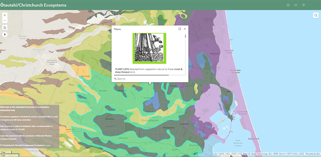
Make compelling maps that communicate meaningful information and meet modern design standards with advanced map creation software. Expansive cartographic toolbox. 2D and 3D visualisations. Vast layout and export options for digital and printed maps.
Analytics and data science
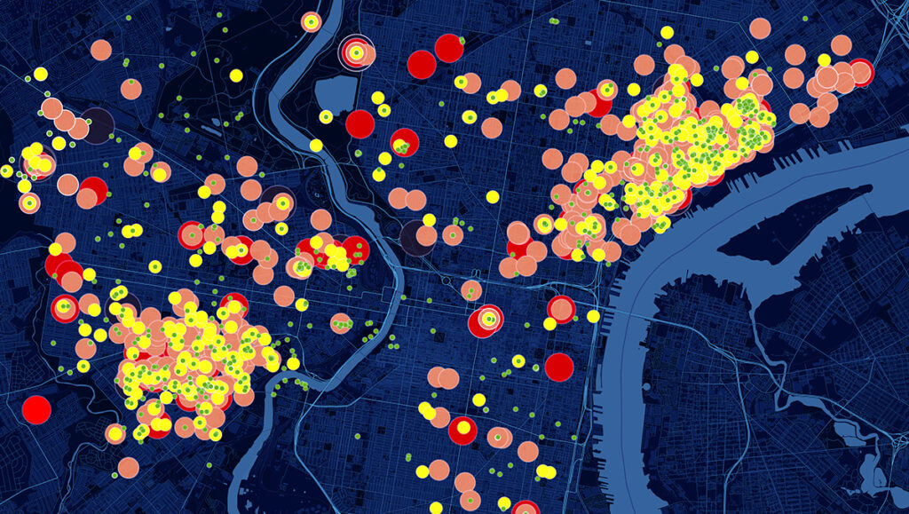
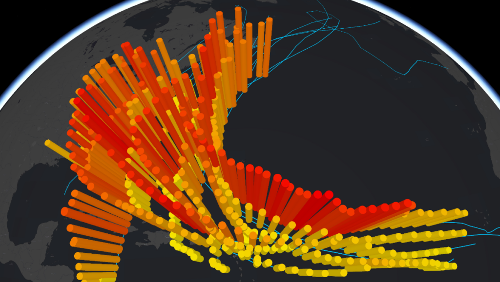
Perform any type of spatial analysis to extract insights from spatial data and solve even the most complex geospatial problems. Ability to analyse all kinds of data to detect spatial patterns and relationships. Scientific analysis tools for 2D, 3D, and time-aware data. Advanced analytical tools such as Jupyter Notebooks.
Robust data management
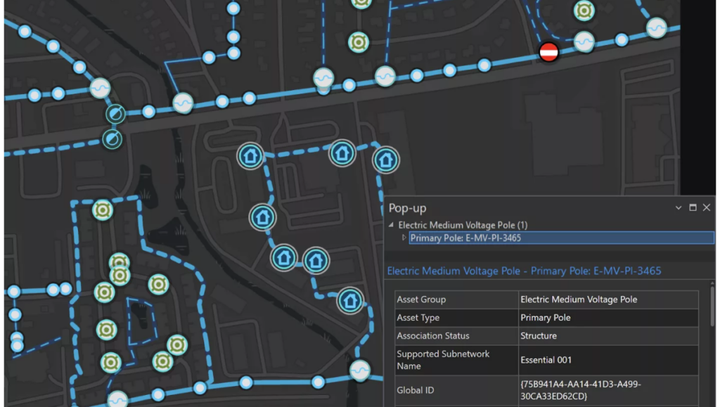
Get more value from spatial data with advanced editing tools and ensure data integrity and reliability. Work with any type of spatial data. Access data wherever it’s stored, locally or in the cloud. Leverage versioned data and multiuser editing. Check data accuracy and repair invalid data.
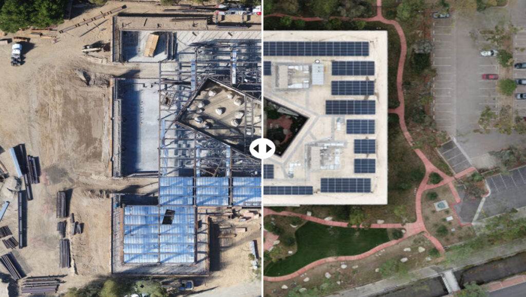
Sophisticated imagery tools
Transform imagery and remotely sensed data into actionable intelligence. Full set of tools for managing and analysing imagery. Handles a vast and continually growing set of imagery formats. One place for image processing. Built-in AI models help extract insights faster.
ArcGIS Pro license levels
There are three license levels for ArcGIS Pro. Each level is paired with a user type for the broader ArcGIS platform. User types also include access to complementary ArcGIS software and apps to give you a complete GIS toolset.

ArcGIS Pro Basic
Accessed through Creator user type for ArcGIS.
With over 1,000 geoprocessing tools built in, ArcGIS Pro Basic delivers core functionality for mapping and visualisation, data management, and analysis.

ArcGIS Pro Standard
Accessed through Professional user type for ArcGIS.
Includes everything in ArcGIS Pro Basic, plus advanced editing and data management capabilities, support for complex data models, enterprise geodatabase management, and additional geoprocessing tools.

ArcGIS Pro Advanced
Accessed through Professional Plus user type for ArcGIS.
Includes everything in ArcGIS Pro Standard, plus production-ready cartography, big data analytics, and machine learning models. Popular extensions such as ArcGIS Spatial Analyst, ArcGIS 3D Analyst, and ArcGIS Network Analyst are included.
Pricing & Licensing
Contact Eagle Technology for New Zealand ArcGIS Pro pricing and licensing options.
Real-world examples of ArcGIS Pro usage across industries
See how organisations are using ArcGIS Pro.