
The benefits of GIS for AEC
GIS helps AEC teams connect design, construction, field, and asset data to improve coordination, reduce risk, and deliver infrastructure more efficiently.
Improve project coordination
Connect teams, data, and systems across planning, design, construction, and handover to reduce silos and improve collaboration.
Assess sites with confidence
Analyse planning zones, hazards, infrastructure, environmental constraints, and site conditions to support better feasibility decisions.
Support smarter asset handover
Create digital records and spatially enabled asset data that support long-term maintenance, operations, and infrastructure management.
Reduce rework and project risk
Combine GIS, CAD, BIM, survey, and field data to improve design context, identify issues earlier, and support better project outcomes.
Explore what’s possible with GIS
GIS supports AEC teams across the full asset lifecycle, from early planning and design coordination to digital twins, facilities management, indoor mapping, and construction handover.
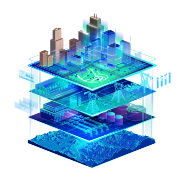
Digital twins
Create connected digital twins
Use GIS, BIM, imagery, and asset data to create digital twins that support planning, design, construction, operations, and long-term asset management.
ArcGIS enables teams to bring location, design, and operational data together in one connected digital environment.
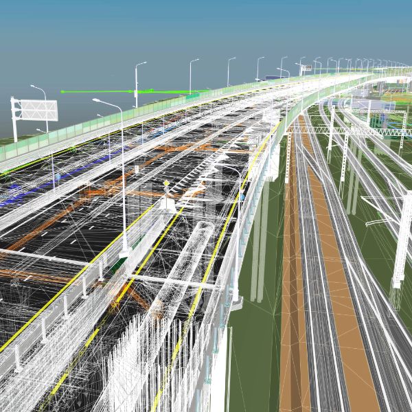
Facilities
Manage facilities with spatial insight
Use GIS to map, manage, and analyse buildings, assets, utilities, and facilities data across complex campuses and property environments.
Facility teams can use GIS to improve asset visibility, maintenance planning, space management, and operational coordination.
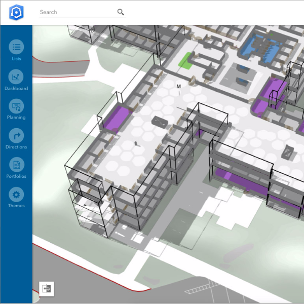
CAD and indoors
Connect CAD, BIM, and indoor data
Bring CAD, BIM, and indoor mapping data into GIS to support better design coordination, asset handover, and operational planning.
Integrating engineering and design data, CAD, BIM, and GIS, empowers AEC teams to solve complex industry challenges.
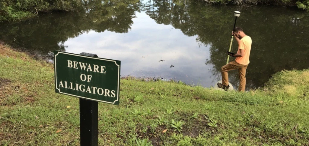
Our approach
We combine GIS expertise, technology, and industry knowledge to help organisations make smarter decisions, strengthen operations, and create long-term business value.
A geographic approach to problem solving
Combining spatial thinking with technical GIS expertise helps organisations better connect, manage, and understand their data to support smarter planning and operational decisions.
Training and support that builds capability
Through local training, experienced support, industry events, and knowledge sharing, we help teams build confidence, become more self-sufficient, and stay connected to the wider GIS community.
Strategic partnerships
Eagle designs and implements GIS solutions that align to operational goals, integrate with existing systems, and deliver value as needs evolve over time.