
Harness the power of spatial problem-solving
Spatial awareness arises from ongoing inquiry about our past, present, and future surroundings. Transcend the boundaries of business analytics with spatial thinking that helps you understand the interconnectedness of our world.
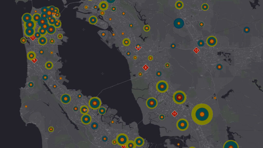
Understand the where in your data
Watch patterns emerge when you see your assets, customers, performance metrics, and competitors in the context of their location. Use spatial analysis to layer your data on a map, where you can combine and evaluate information to find the answers you need.
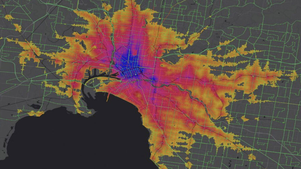
Use data to measure the real world
Get to know the spatial characteristics of where your organisation or assets operate. Calculate the sizes and distribution of service areas, sales territories, or work sites, as well as metrics like building heights, the distance between assets, and the slope of pathways.
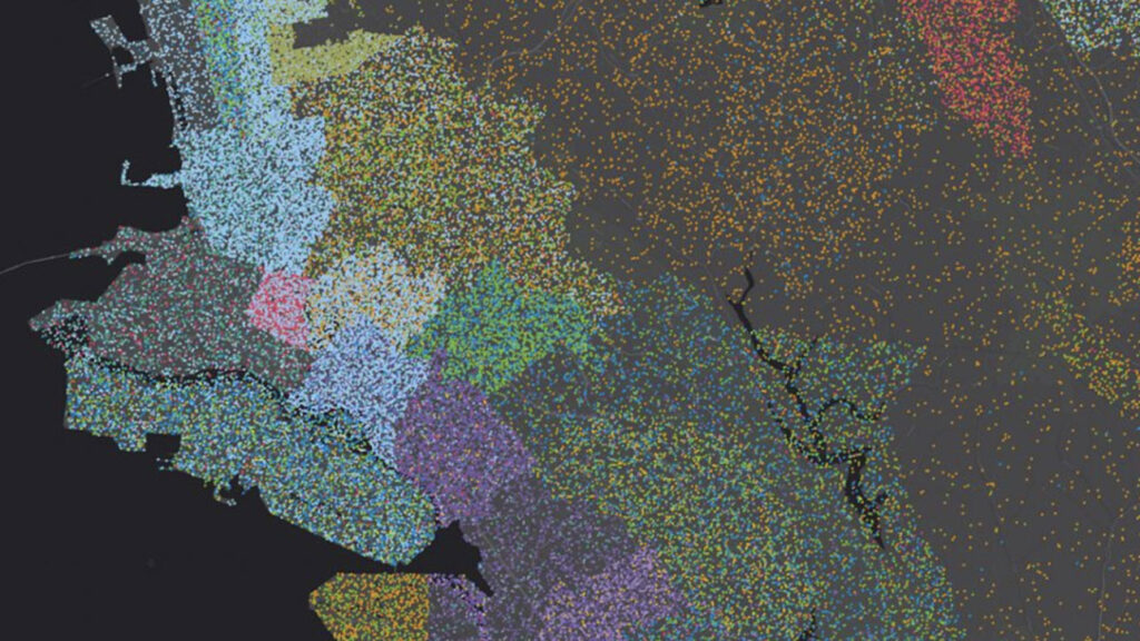
See how places and entities relate
Find connections between objects when you geographically explore their proximity, coincidence, intersection, overlap, and visibility. Determine the strength and direction of these newfound relationships to inform decisions related to supply chains, emergency response, or market opportunity.
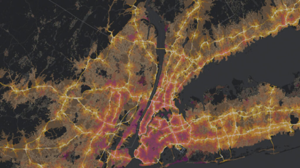
Find the best locations and routes
Perform cutting-edge suitability modelling, site selection, market expansion, logistics, and asset network planning. Explore environmental characteristics and consumer behaviour to understand which locations may be more desirable to your research or organisation. Optimise ways to get resources where they need to be to maximise efficiency.
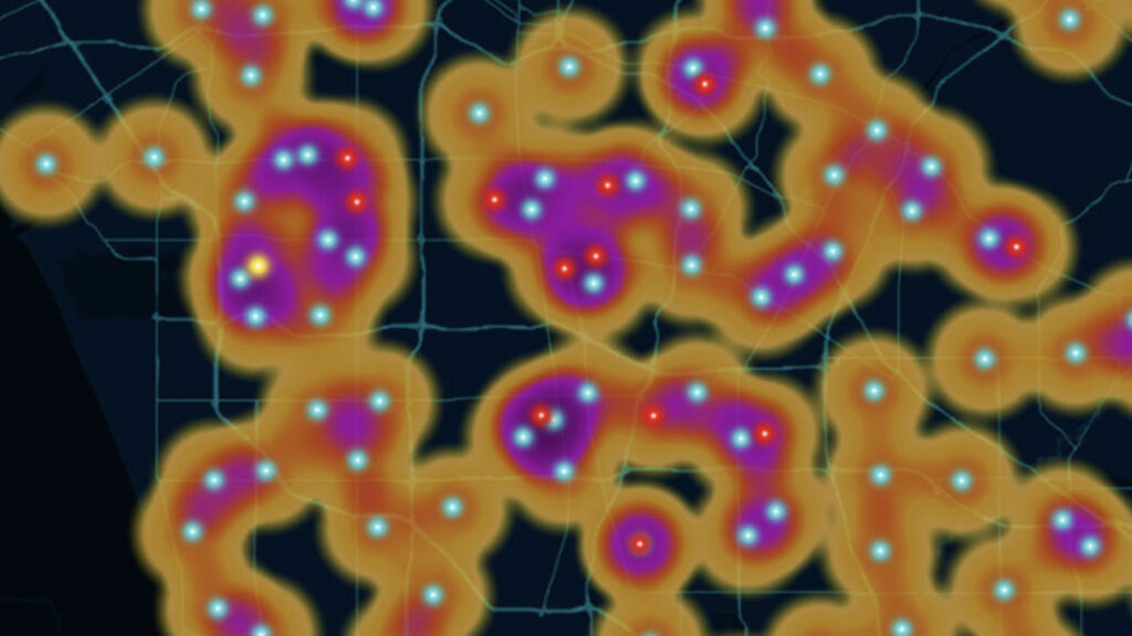
Detect and quantify patterns
Go beyond visualisation to find geographic clusters, hot spots, and outliers. Share meaningful analysis with decision-makers that supports them in getting buy-in and informs their next steps.
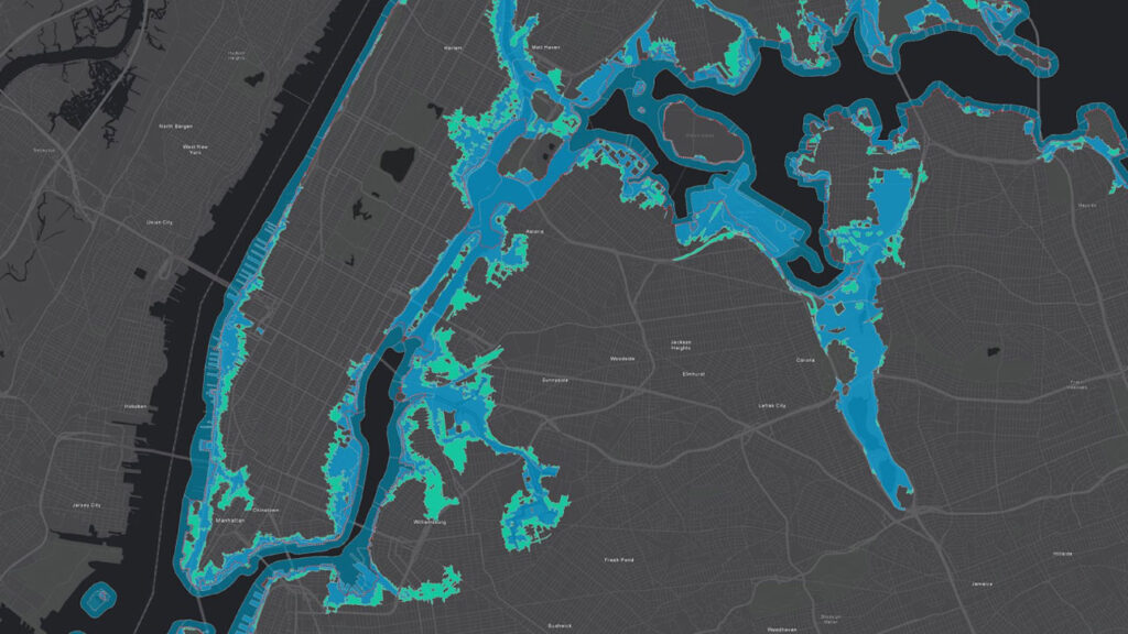
Make predictions
Use powerful modelling techniques and geospatial artificial intelligence (GeoAI) to understand and predict the environmental, societal, and economic impact of a decision. Create and iterate what-if scenarios, forecast decision outcomes, make accurate performance projections, and more.
Simplify spatial problem-solving
Organisations across Aotearoa are increasingly relying on geospatial data to make better decisions, plan for the future, and deliver better outcomes for communities. Esri have developed approachable tools and scalable infrastructure, and also continue to push the boundaries of spatial data science to empower your entire organisation to work with geospatial data. ArcGIS meets your organisation where it is with simplified operations and methods, seamless integrations, and comprehensive resources to boost confidence and skills.
A comprehensive system for spatial analytics. Gain access to enterprise-grade software with data, methods, and tools to support all types of spatial analytics workflows.
Leverage existing IT infrastructure and tools. Continue to use the investments you have made in scalability and performance. Generate results that can be integrated into third-party systems.
Maintain performance and scale. Transform massive geospatial data into manageable information using distributed architectures to analyse and display large volumes of data.
Thrive within a growing geospatial landscape
As the volume and variety of data evolves, know that the same problem-solving principles shared here can be applied to get the answers you need.
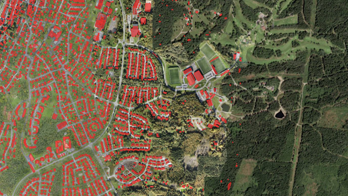
GeoAI
Integrate geospatial data, science, technology, and AI to better understand business opportunities, environmental impacts, and operational risks while modernising operations through automation, advanced analytics, intuitive spatial tools, and insights.
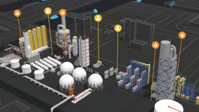
Real-time analytics
Respond quickly to changing conditions, identify emerging trends, and take immediate action based on up-to-date information. With real-time analytics, organisations can detect anomalies, monitor key performance indicators, and personalise customer experiences.
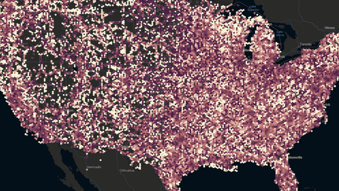
Big data analytics
Go from raw data to insights faster by reducing processing steps and analysis time. Eliminate spatial indexing and start analysing raw geospatial data by leveraging the power of Spark. Save time by using enterprise-grade spatial algorithms.
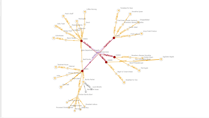
Graph analytics
Explore the complex relationships and connections between entities. Graph analytics can help organisations understand social networks and supply chains and detect fraud by analysing the relationships between nodes and edges in a spatial context.
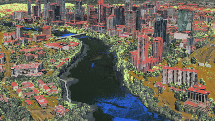
3D analytics
Three-dimensional models can help simulate and predict real-world scenarios when planning land use, responding to a disaster, or understanding the impacts of climate change. Use 3D analytics to assess building heights, sunlight exposure, explore depth or underground assets.
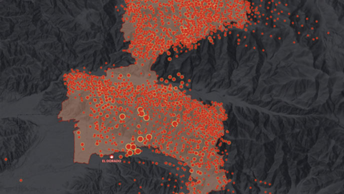
Image and raster analytics
Analyse street-level, drone, crewed-aircraft, and satellite imagery to provide insights for land management, wildfire monitoring, and natural resource exploration. ArcGIS enables better planning and decision-making by extracting meaningful information from pixels.
Network analytics
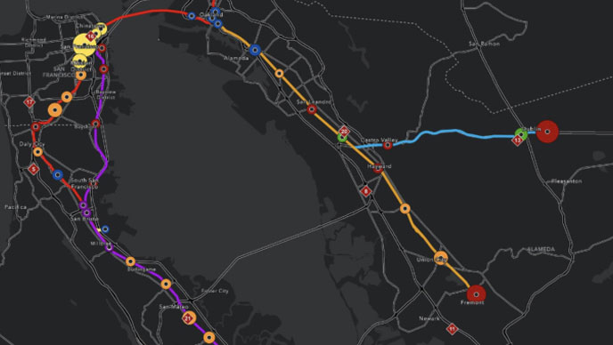
Enable the effective movement of goods; efficient organisation and coordination of vehicles; and intelligent transport network analysis. Make smarter decisions with strategic routing plans that save time and money by solving vehicle routing problems and then performing postrouting analysis.

Spatial statistics
Analyse spatial distributions, patterns, and relationships using powerful statistical and machine learning techniques. While similarities exist between traditional and spatial statistics, the latter directly incorporates space and its various relationships into their mathematical calculations.