
Imagery is at the forefront of an information revolution
In business, government, science, and research, global imagery powers visibility into operations and opportunities. Now, drones, crewed aircraft, and satellites capture more imagery than ever, creating a near real-time picture of our entire planet. With imagery and GIS combined in a geospatial technology system, you can unpack more information from every pixel—and transform static images into dynamic digital representations of our world.
A comprehensive system for imagery
Perform every imagery and remote sensing workflow in one software environment, from planning drone flights to training deep learning models.
More ways to use your remotely sensed data
Access powerful data management, mapping, and analysis tools backed by ArcGIS, the leading location intelligence software worldwide.
A geographic approach to data integration
Use GIS to seamlessly combine imagery with other geospatial data—and ultimately create richer information products that drive smarter decisions.
See what’s possible with imagery and ArcGIS
Esri software is backed by 50 years of market leadership in location-based technology. ArcGIS currently powers business intelligence at more than 350,000 enterprise organisations worldwide.
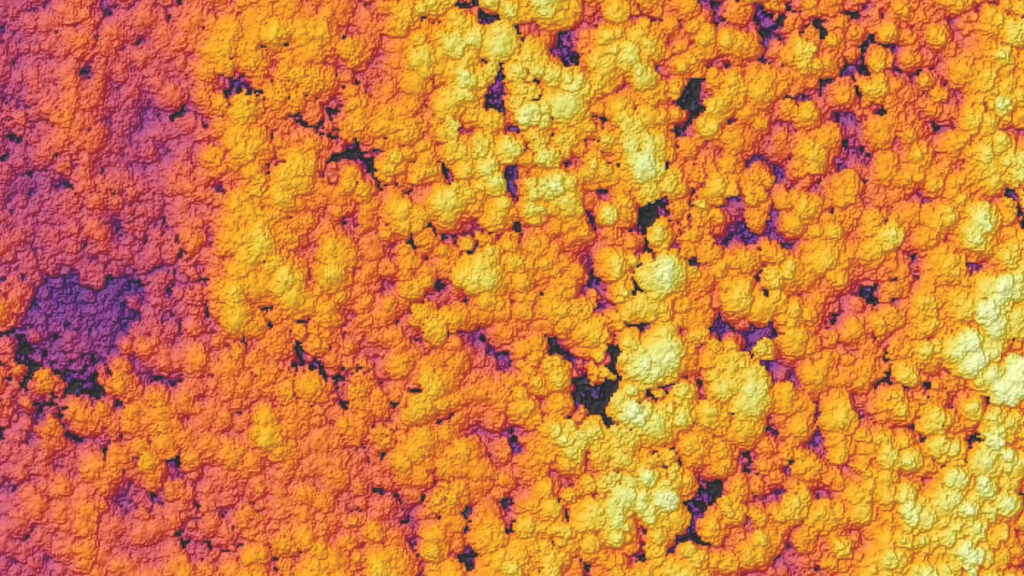
Scientists protect biodiversity in the Falkland Islands
Each year, biologists track penguin populations by counting the birds that crowd the Falkland Islands’ shores to nest. The researchers use ArcGIS to speed up their work, analysing drone imagery of the area with a deep learning model trained to recognise species of interest.
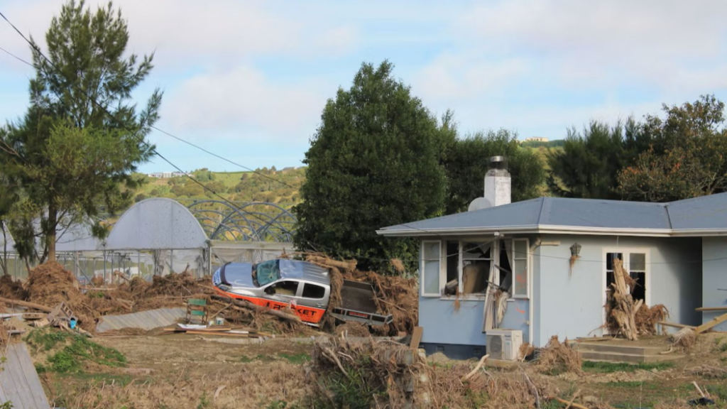
Insurance companies speed customer recovery after disasters
A consortium of insurance companies in the US employs a fleet of crewed aircraft to capture aerial imagery of structural damage after disasters. With ArcGIS to quickly process accurate photos for damage assessment, insurers help customers start the claims process faster.
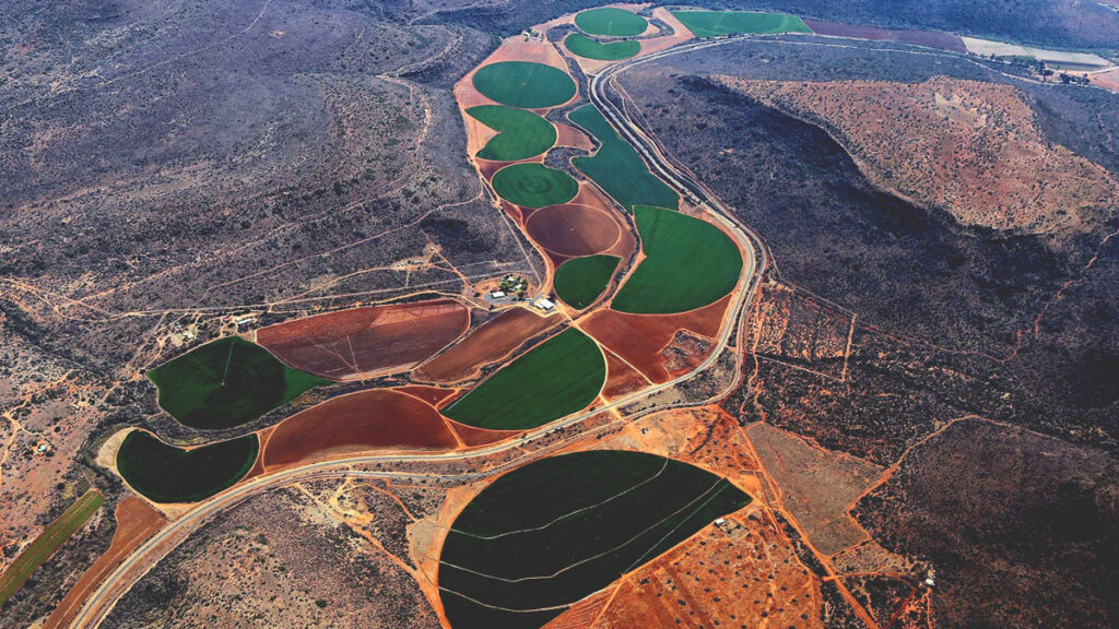
Innovators revolutionize sustainability in agriculture
Agricultural technology startup Indigo Ag uses satellite imagery and ArcGIS to provide natural microbial seed treatments that replace environmentally harmful practices. With a top-down view of farmland, Indigo Ag measures more data at once to power smarter decision-making.
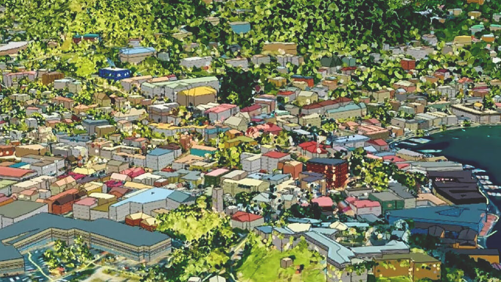
Governments create digital worlds to inform a better future
With aerial sensor data and ArcGIS, government officials in Grenada led an effort to map the world’s first national digital twin. Grenada’s leaders use the 3D virtual model to test scenarios and make decisions that secure citizens’ safety and access to critical resources.
One solution for local and global challanges
Geospatial technology, inclusive of imagery and GIS, unlocks the potential of remotely sensed data.
Transform how you work
Content
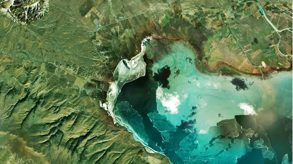
Explore imagery from an extensive array of authoritative sources, available through ArcGIS Living Atlas of the World and Esri partners. Easily combine sourced imagery with data from your own collections. ArcGIS makes use of content from any type of sensor, in any format or modality.
Management
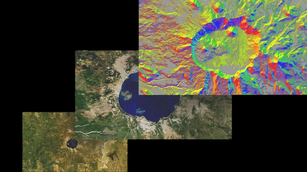
Make imagery accessible across your organisation with tools for hosting, managing, and streaming imagery for use in products and services. ArcGIS includes scalable image management options that integrate with Esri software for performing analyses, creating maps, and sharing data organisation-wide.
Reality Mapping
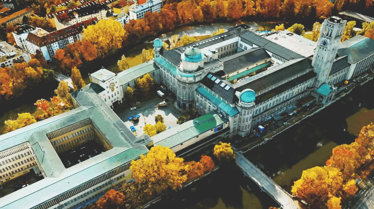
Rapidly create highly accurate imagery products in 2D and 3D. ArcGIS includes reality capture and photogrammetry tools for generating feature-rich maps, models, and orthomosaics from all types of imagery and raster data, plus tailored software for drone mapping integrated with fleet management and flight planning.
Analysis and AI
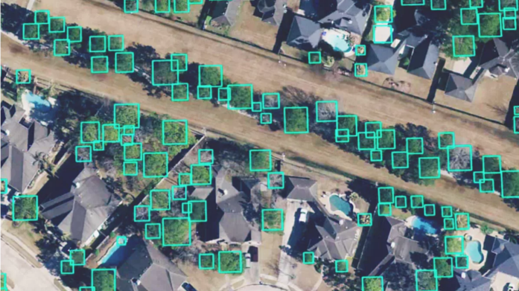
Apply the ArcGIS system’s powerful analysis to imagery, including change detection, multidimensional, and video analyses. And combine image analysis with AI—use pretrained or custom models to analyse large volumes of imagery faster, automate shape and pattern recognition, and extract insights at scale.
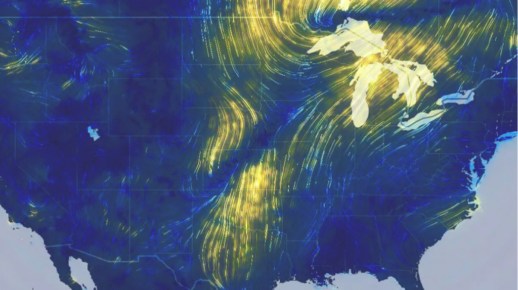
Visualisation and interpretation
Look beyond images and their immediate data outputs. Give anyone—decision-makers, customers, and the public—the power to interpret imagery and take informed action. In ArcGIS, you can easily create and share interactive applications, impactful reports, and visual stories that include imagery and remote sensing data.
Supports various sensor data sources

Satellite

Crewed aircraft

Drone

Terrestrial