
The benefits of GIS for telecommunications
GIS helps telecommunications providers connect network, customer, and operational data to improve planning, service delivery, and network performance.
Identify high-value markets
Use location intelligence to understand demand, coverage, capacity, and customer opportunity across communities and service areas.
Plan network investment
Assess existing capacity, future demand, and expansion opportunities to prioritise fibre and mobile infrastructure investment.
Improve customer experience
Support faster outage response, better serviceability checks, and clearer customer engagement using location-based insight.
Strengthen operational visibility
Connect network assets, field activity, serviceable locations, and operational systems in one shared map-based view.
Explore what’s possible
GIS supports telecommunications providers across network planning, engineering, operations, customer service, and public safety by connecting infrastructure, coverage, customers, and field activity in one shared view.
Network planning
Plan and manage next-generation networks
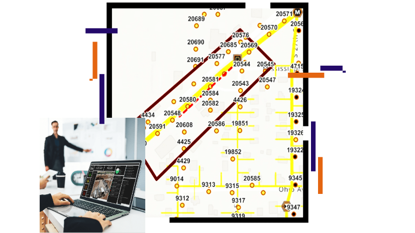
Use GIS to assess coverage, capacity, demand, and infrastructure constraints to support fibre, mobile, and next-generation network planning.
Location intelligence helps telecommunications teams prioritise investment, identify service gaps, and align network expansion with customer demand.
Public Safety
Support resilient critical communications
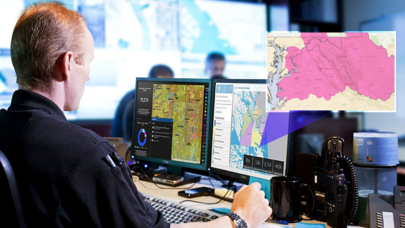
Use GIS to understand network assets, coverage areas, service locations, and operational dependencies that support public safety communications.
The Public Safety Network NZEUC 2025 example shows how spatial technology supports critical communications planning and operational awareness.

Our approach
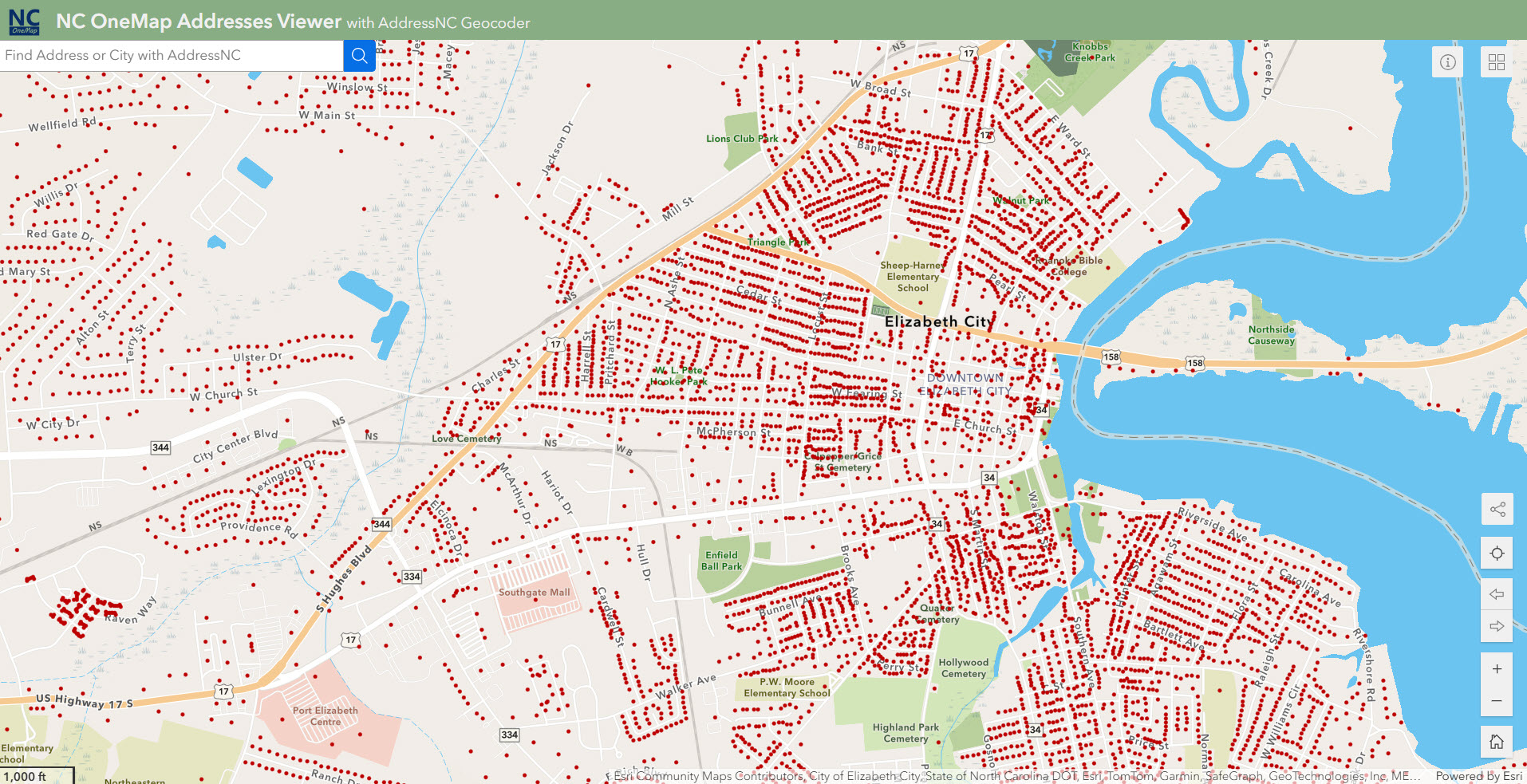
We combine GIS expertise, technology, and industry knowledge to help organisations make smarter decisions, strengthen operations, and create long-term business value.
A geographic approach to problem solving
Combining spatial thinking with technical GIS expertise helps organisations better connect, manage, and understand their data to support smarter planning and operational decisions.
Training and support that builds capability
Through local training, experienced support, industry events, and knowledge sharing, we help teams build confidence, become more self-sufficient, and stay connected to the wider GIS community.
Strategic partnerships
Eagle designs and implements GIS solutions that align to operational goals, integrate with existing systems, and deliver value as needs evolve over time.