Transform decision-making with the clarity of 3D mapping
Uncover the full potential of geospatial data with Esri’s 3D geographic information system (GIS) mapping software. Use a variety of data formats and open standards to gain deeper understanding and insights with realistic visualisations and advanced analytics. Many industries such as urban planning; architecture, engineering, and construction (AEC); and government are driving smarter decisions with 3D GIS.
Build realistic visualisations to enhance analysis
Create detailed 3D scenes to visualize complex geospatial data, resulting in faster and more precise analysis and improved awareness.
Communicate effectively with greater dimension
Enhance collaboration and engagement with non-GIS users and GIS professionals by sharing compelling 3D visuals of natural and built environments.
Improve decision-making through greater insights
Interact with 3D content in realistic and immersive experiences to gain clarity, evaluate decisions, and establish sustainable workflows.
 Interoperable
ArcGIS offers an open and flexible framework, ensuring data interoperability and compatibility.
 Responsive
ArcGIS handles and streams massive amounts of diverse 3D data types and formats quickly and responsively.
 Accurate
Experience unparalleled data visualisation and analysis capabilities with precise and immersive visualisations
 Engaging
Foster a new level of engagement and collaboration with the power of striking visualisations and interactive tools.
Open standards
ArcGIS supports a wide array of data formats and services, including Open Geospatial Consortium (OGC) standards. Learn more about Esri’s open vision
Create a foundation for living digital twins
ArcGIS is a leading geospatial system that enables 3D GIS. It includes an integrated 3D system of record that creates smart environments and provides a foundation for living digital twins.
Discover new dimensions of understanding with 3D GIS capabilities
Digital twins are representations of real-world objects and their processes and relationships. GIS technology supports digital twins for social, natural, and built environments by integrating a variety of digital content. Governments and private industries implement digital twins to automate and optimize critical systems and operations.
ArcGIS and its 3D capabilities enable digital twins by managing data, linking transactions, creating realistic visualisations, and performing analytics through an integrated 3D system of record. ArcGIS integrates information models with the context of location, which creates the foundation for living digital twins that foster sustainable workflows and addresses complex challenges.
Content and data management
ArcGIS supports a wide range of data formats and open standards to ensure interoperability across systems, software, and devices. Maximize the full potential of your data by gaining 3D spatial context to plan scenarios, deliver projects, and perform analysis with greater precision.
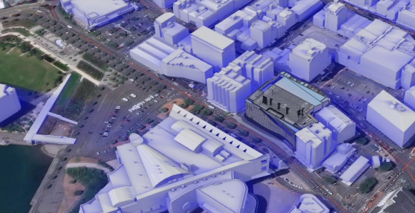
Tākina Building in Wellington 3d geospatial shadow analysis [Credit: Wellington City Council]
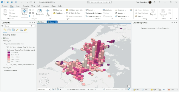
3D Chart of tree lifespans in Auckland (from SPS biota)
Visualisation
Create realistic 3D digital representations to simplify complex issues and explain them to stakeholders such as decision-makers and community members. ArcGIS enables you to create a visual narrative that increases understanding, encourages collaboration, and helps establish consensus among stakeholders.
Immersive experiences
Drive deeper engagement and interactions with advanced 3D capabilities and seamless integrations. ArcGIS powers 3D and XR experiences that allow users to explore and analyse spatial relationships in an intuitive way across a variety of devices, dashboards, and apps.
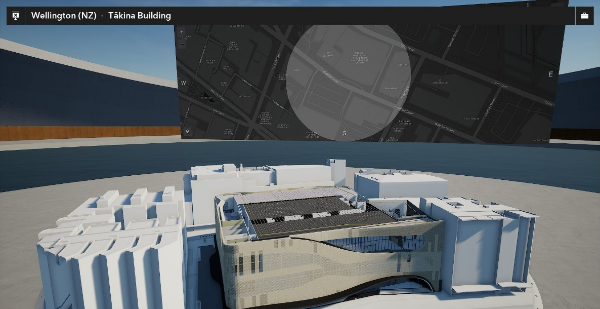
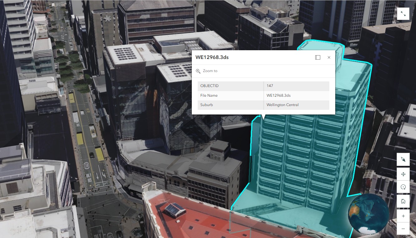
Tākina Building in Wellington visualised in ArcGIS Scene Viewer. [Credit: Wellington City Council]
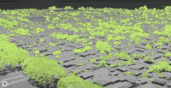
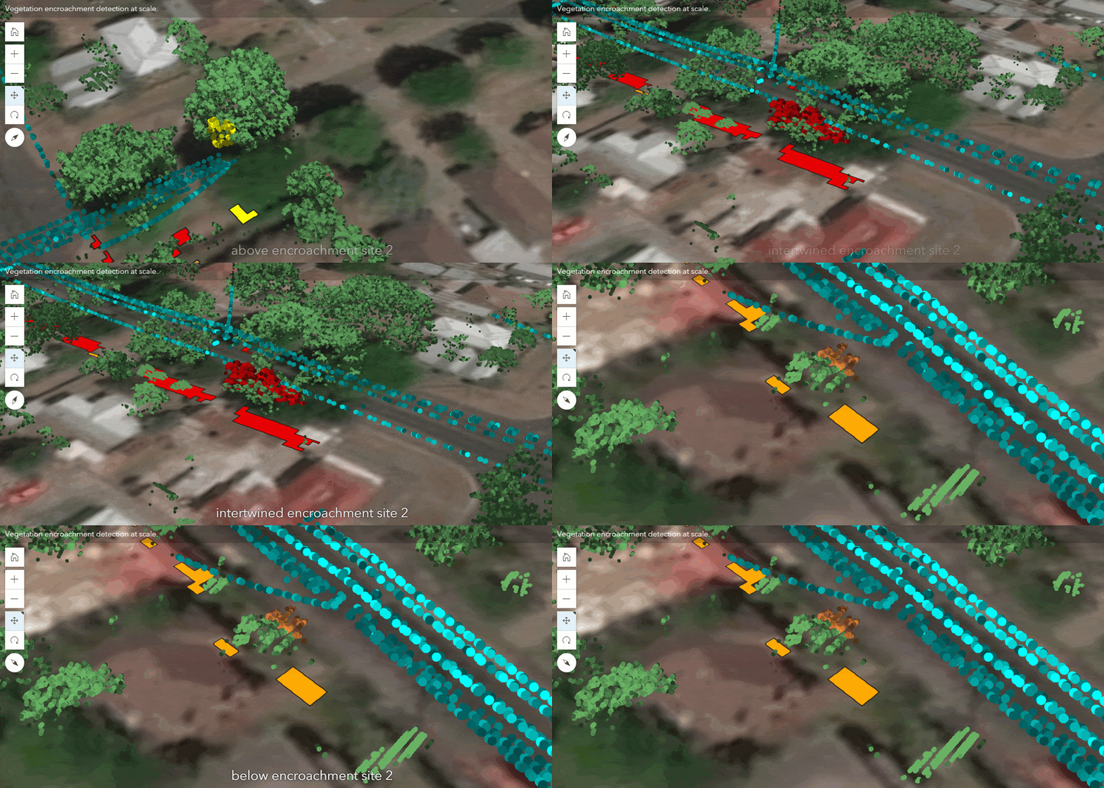
Analysis of trees in Rotorua Image of LiDAR automated using 3d GIS.
Analysis
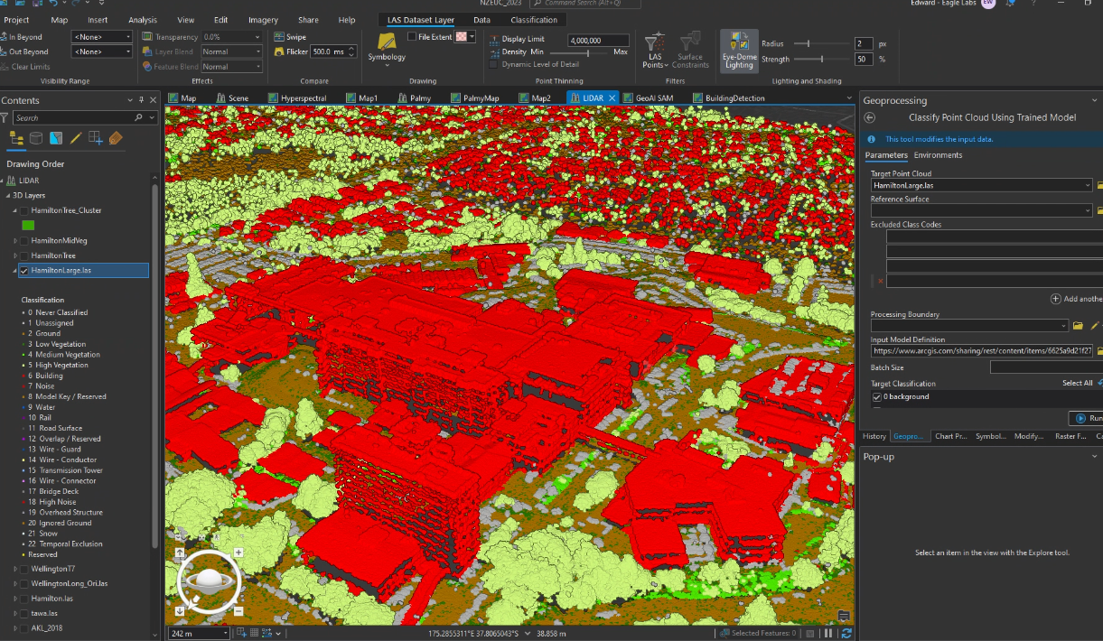
Perform advanced three-dimensional analysis to maximize the potential of your geospatial data. With ArcGIS, you can analyse complex geometry, automate shape and pattern recognition, and extract insights at scale by leveraging deep learning, resulting in faster and smarter data-driven decisions.